Navionics Electronic Charts – Navionics+ & Platinum+
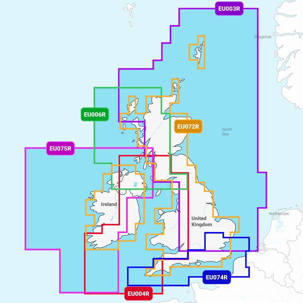
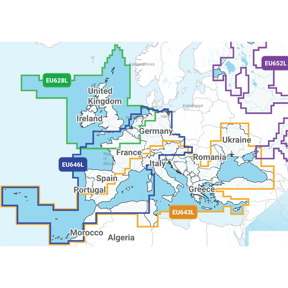
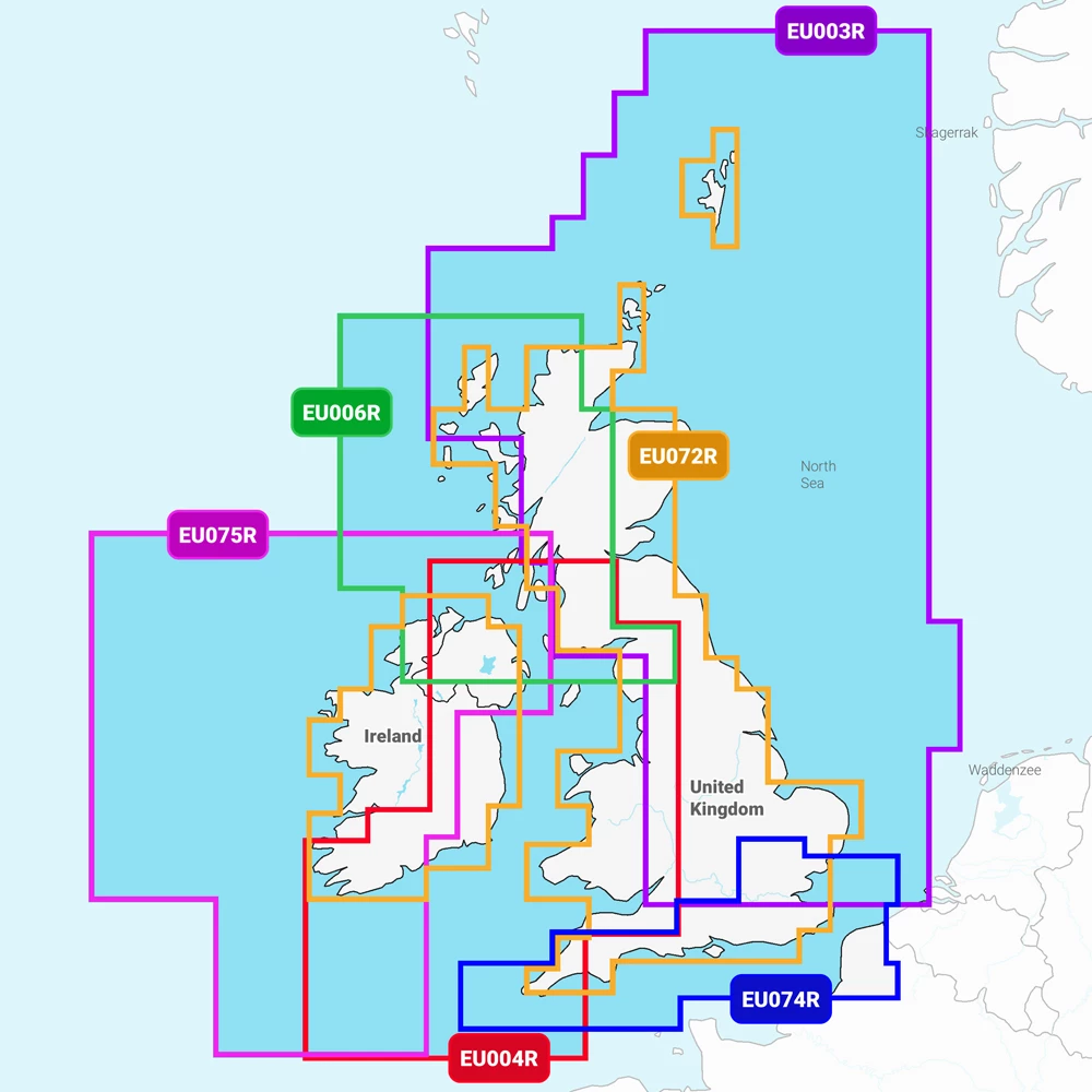
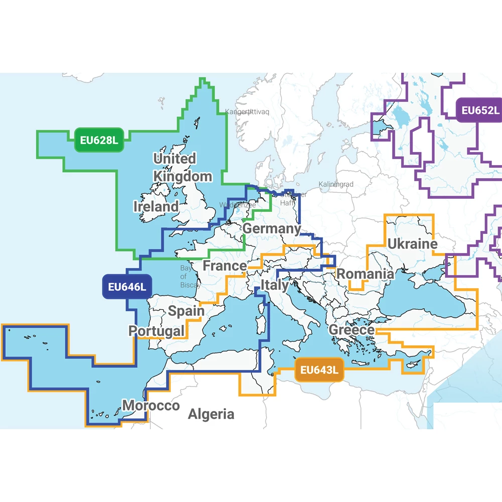
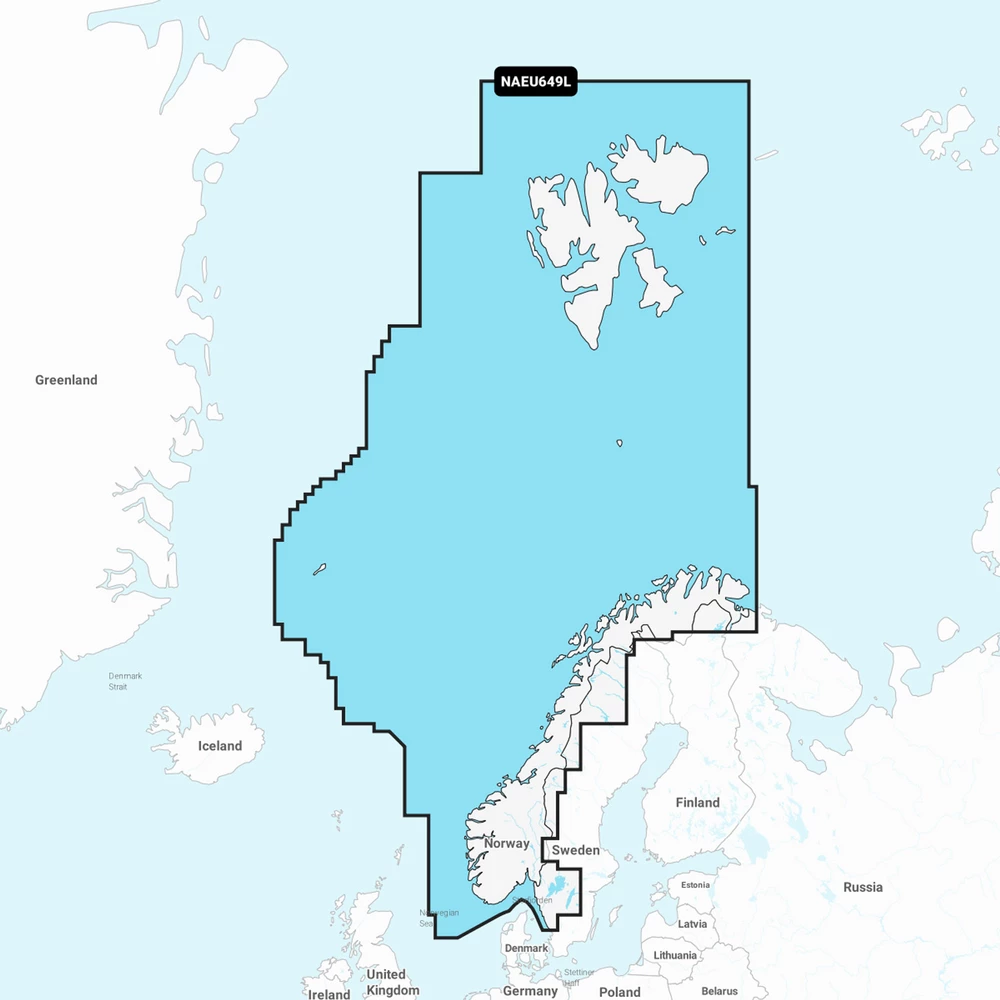
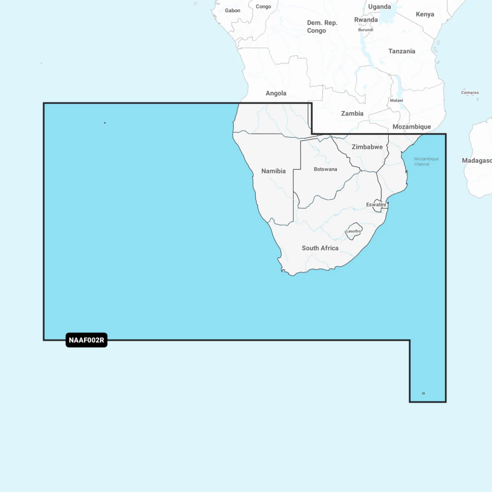
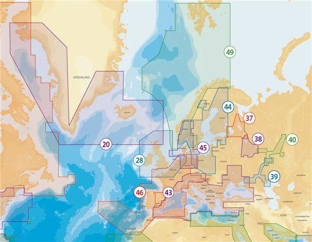
Navionics electronic charts provide detailed nautical mapping for chartplotters and mobile devices, available in Navionics+ and Platinum+ formats. Coverage includes UK waters, Western Europe, the Mediterranean, Norway, Africa, the Caribbean, and Central America.
Charts are supplied on SD and microSD cards to be inserted in your plotter.
Navionics+ Charts
Navionics+ charts combine three core data layers:
- Nautical Charts derived from official hydrographic sources
- SonarChart bathymetry with 0.5m contour detail
- Community Edits contributed by boaters highlighting local points of interest
Each card includes one year of advanced features. These include Dock-to-Dock Autorouting and SonarChart Live. They also include Advanced Map Options and Plotter Sync. Plotter Sync transfers routes between mobile devices and compatible plotters.
Platinum+ Charts
Platinum+ builds on Navionics+ with additional visual layers designed for enhanced situational awareness:
- Relief Shading
- 3D View
- Panoramic Photos
- Satellite overlay combined with SonarChart Shading
These features provide clearer depth interpretation and improved coastal detail for navigation planning.
Check out our full Navionics+ & Platinum+ Chart Comparison Table
Updates Cards
Updates cards allow existing Navionics users to refresh their chart data to the latest coverage and features. They are supplied on SD/microSD and support a wide range of plotters.
Compatibility
Navionics charts are compatible with many leading chartplotters, including selected models from Raymarine, Simrad, Lowrance and Garmin. Compatibility varies by device, card type and region, so checking the correct format for your plotter is essential.
Regional Coverage
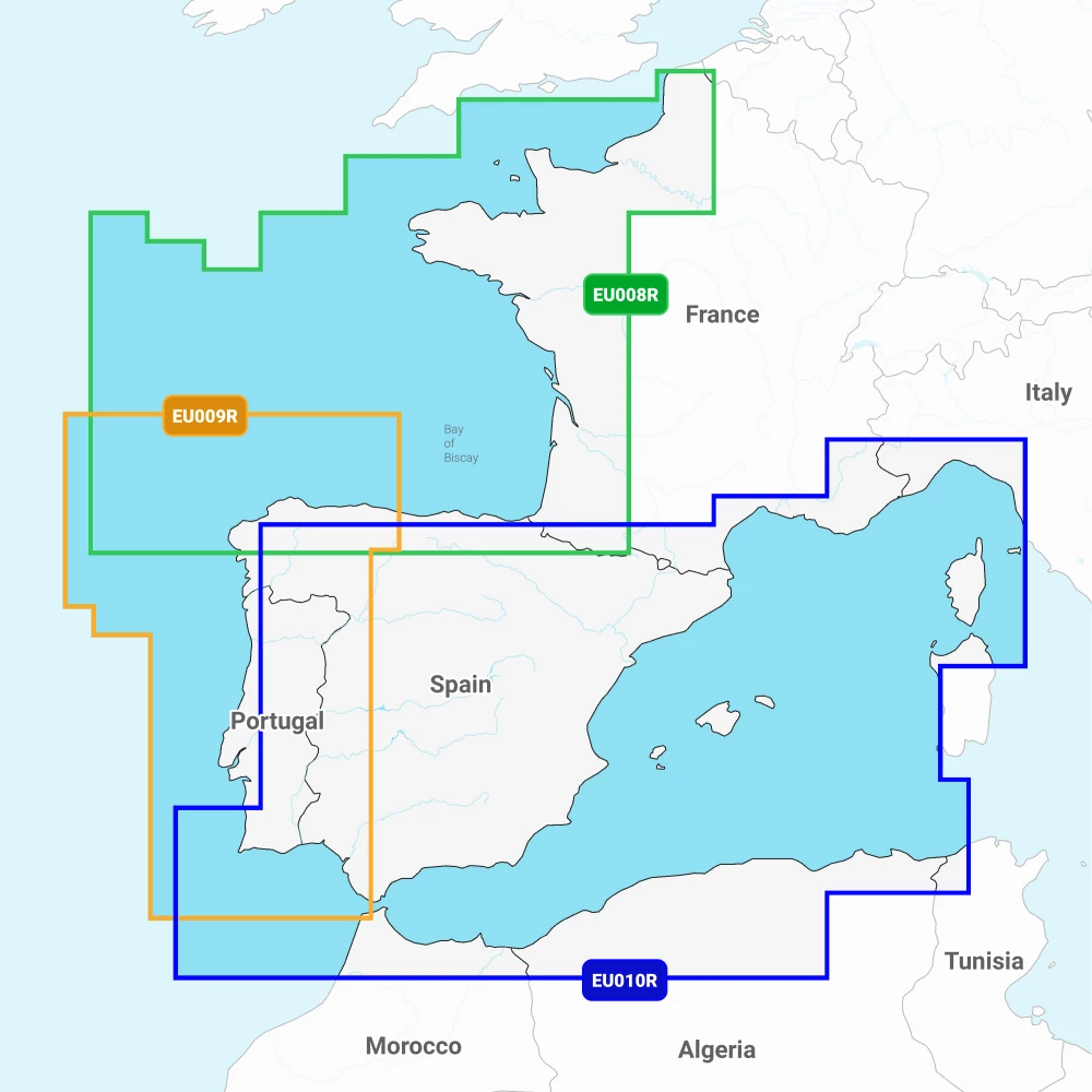
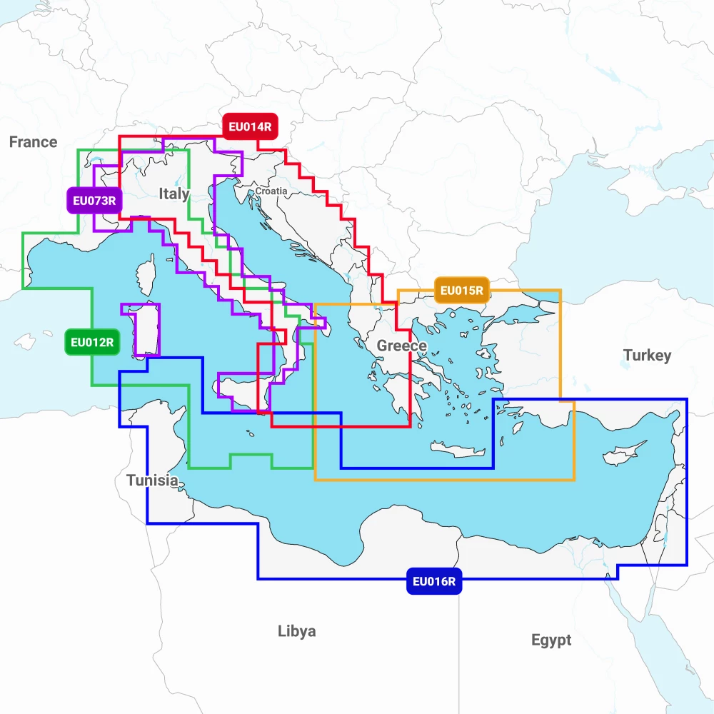
The category includes a broad selection of regional charts, from UK Regular Area cards to European Large Area, Mediterranean, Norway, Africa South and Caribbean coverage. Each product page provides detailed region outlines and supported formats.
Check chartplotter compatability - Click here for the Navionics Compatibility Table