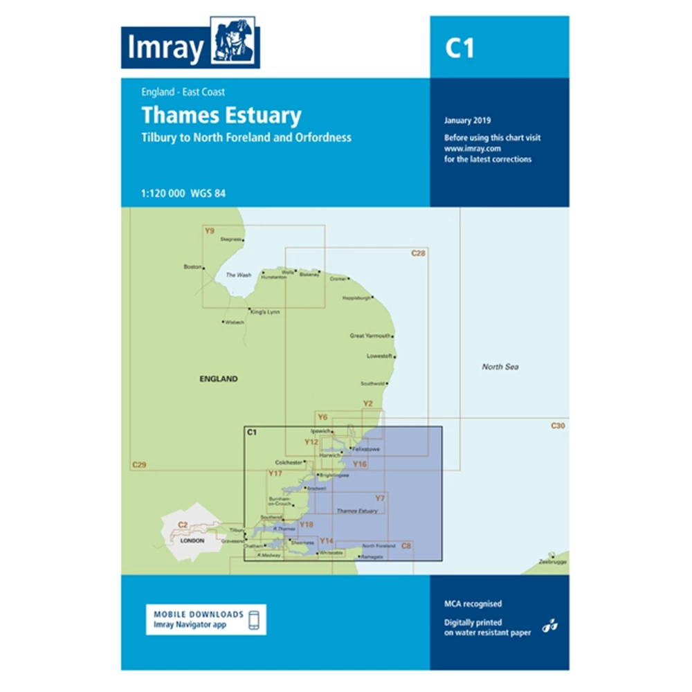
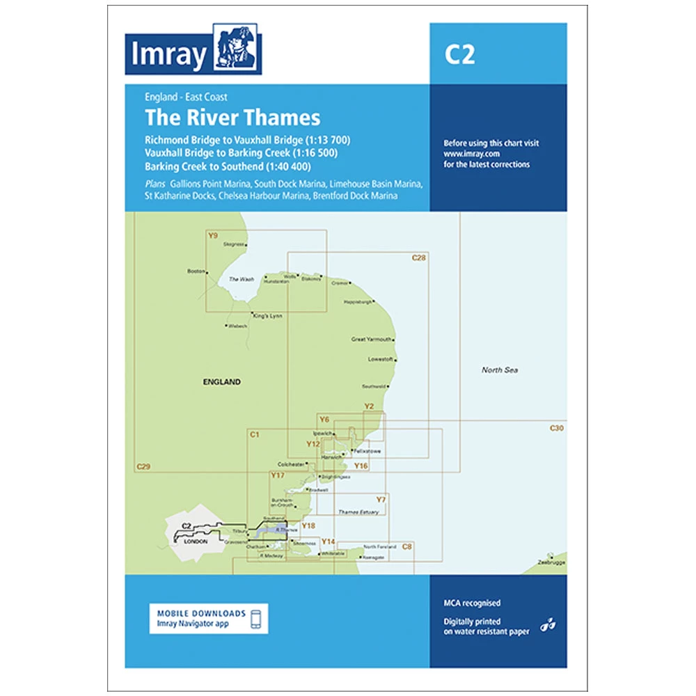
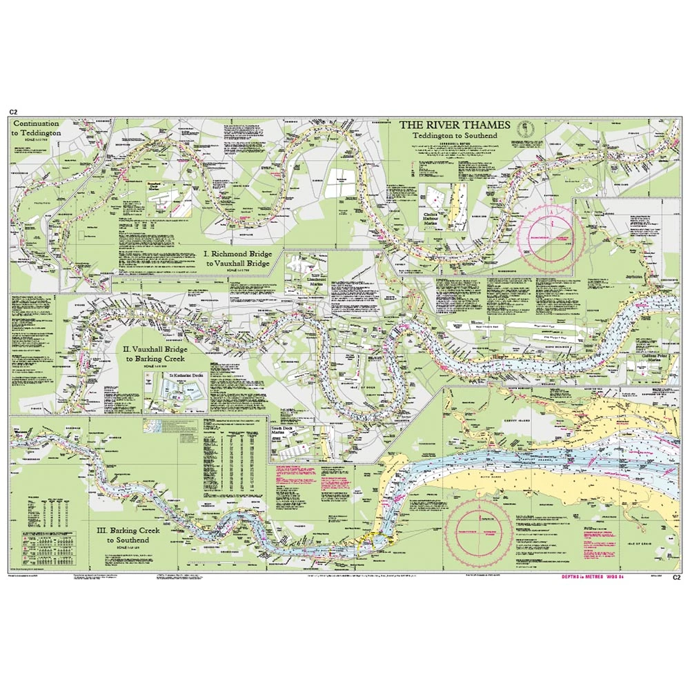
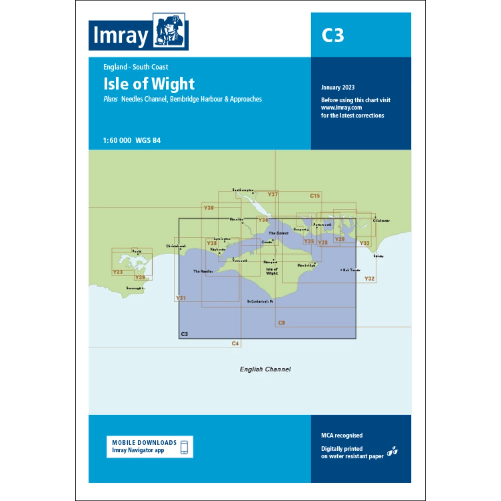
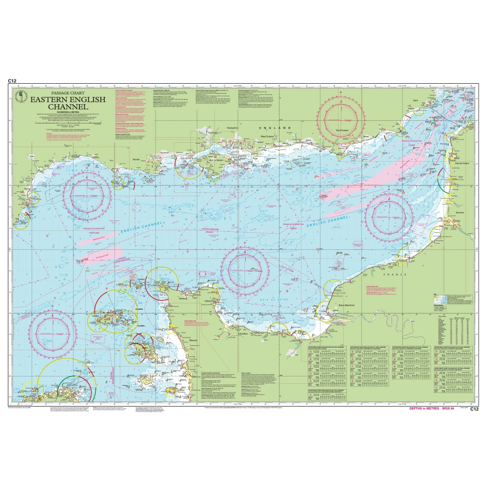
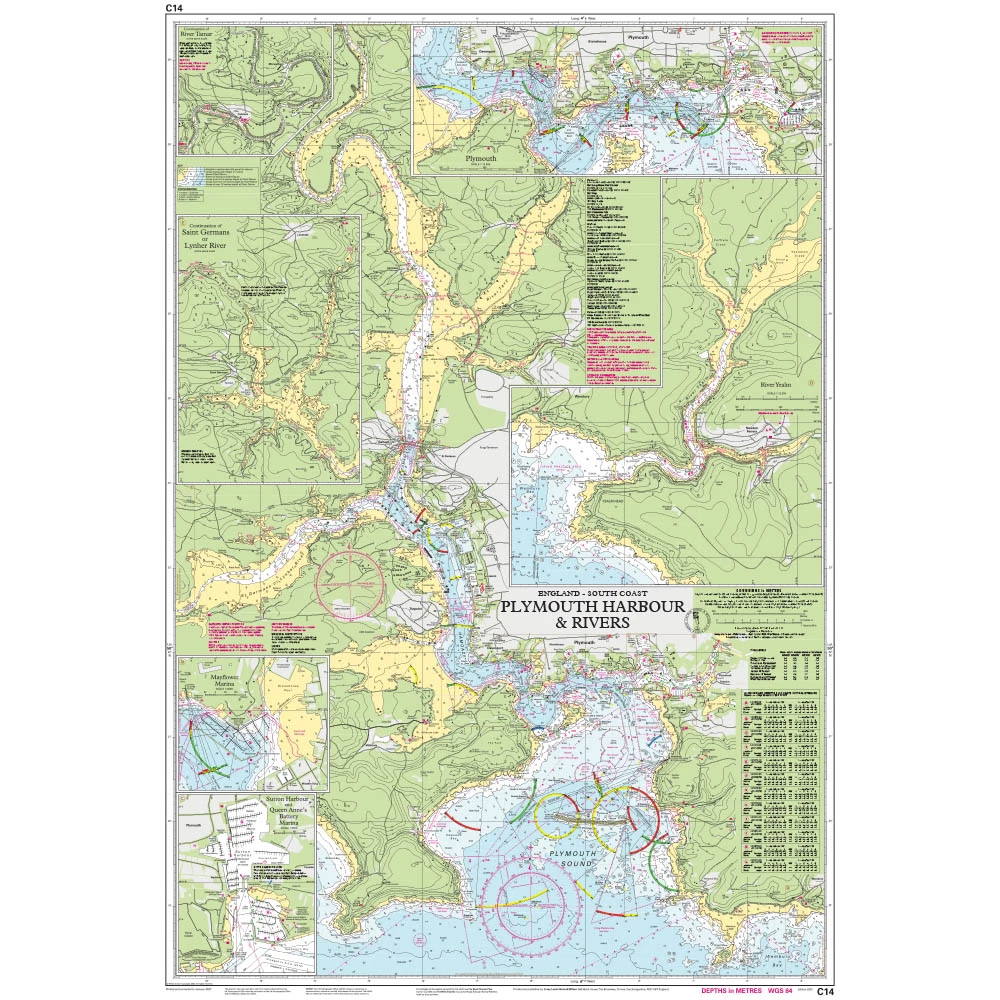
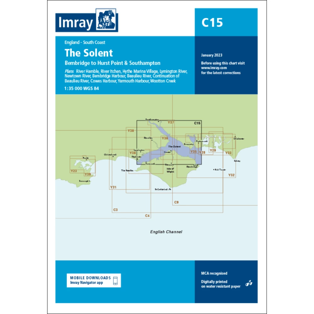
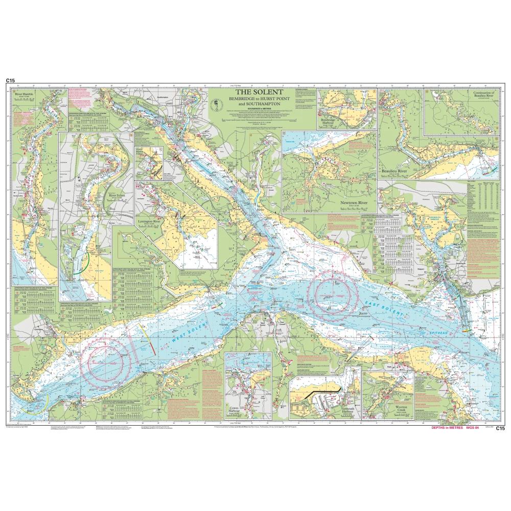
Imray Nautical Charts
Admiralty Small Craft Charts | C-Map Electronic Charts | Garmin BlueCharts | Imray Nautical Charts | Navionics Electronic Charts | Lighthouse Electronic Charts
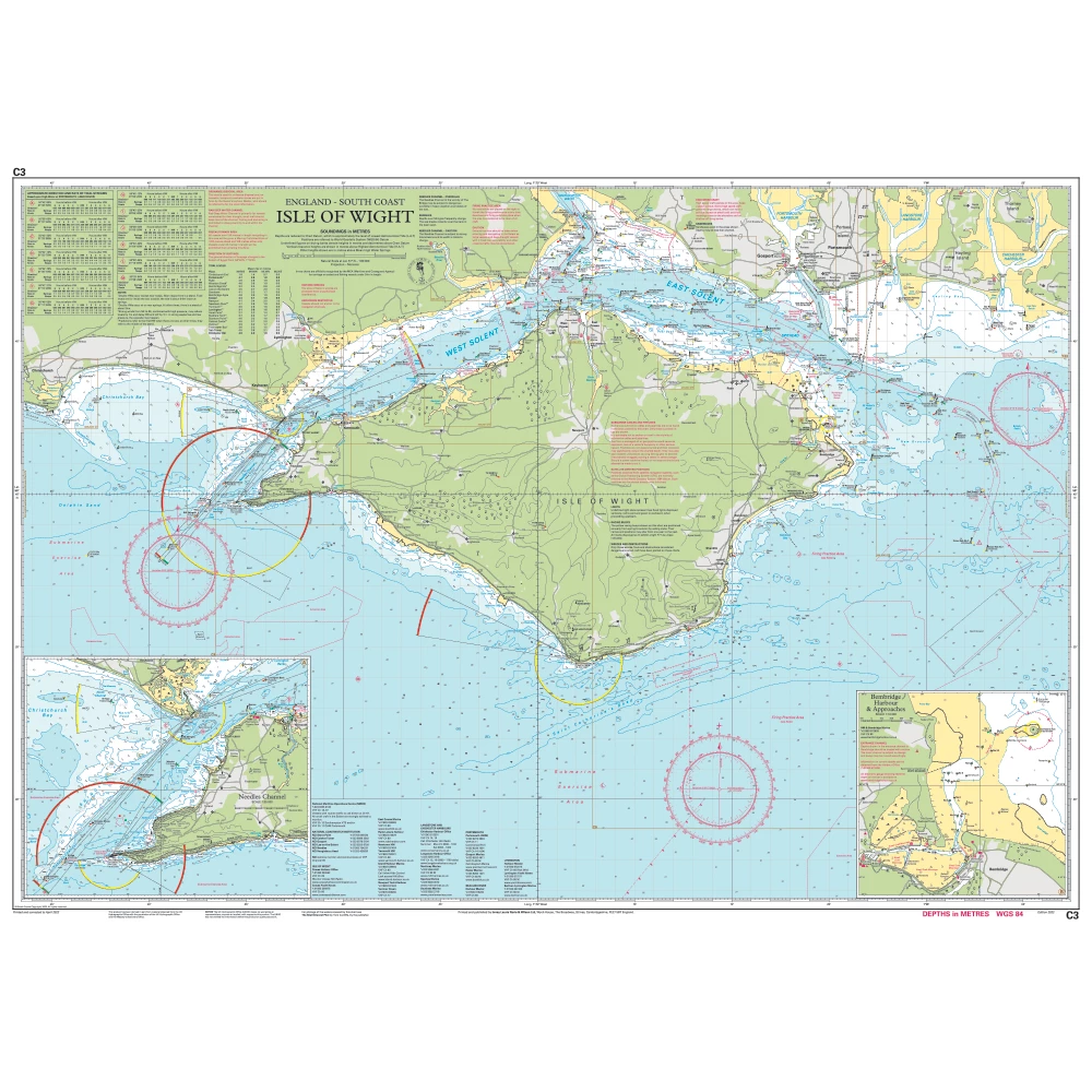
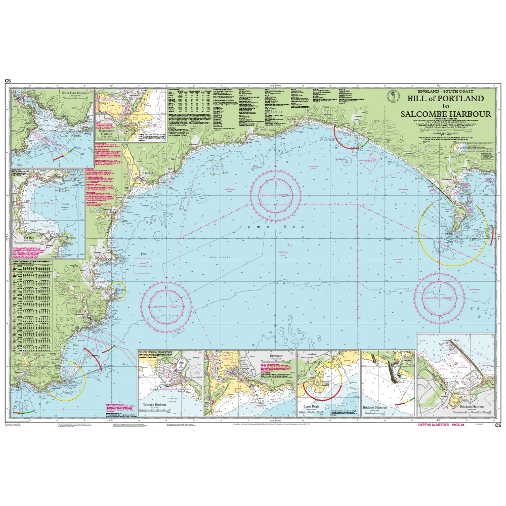
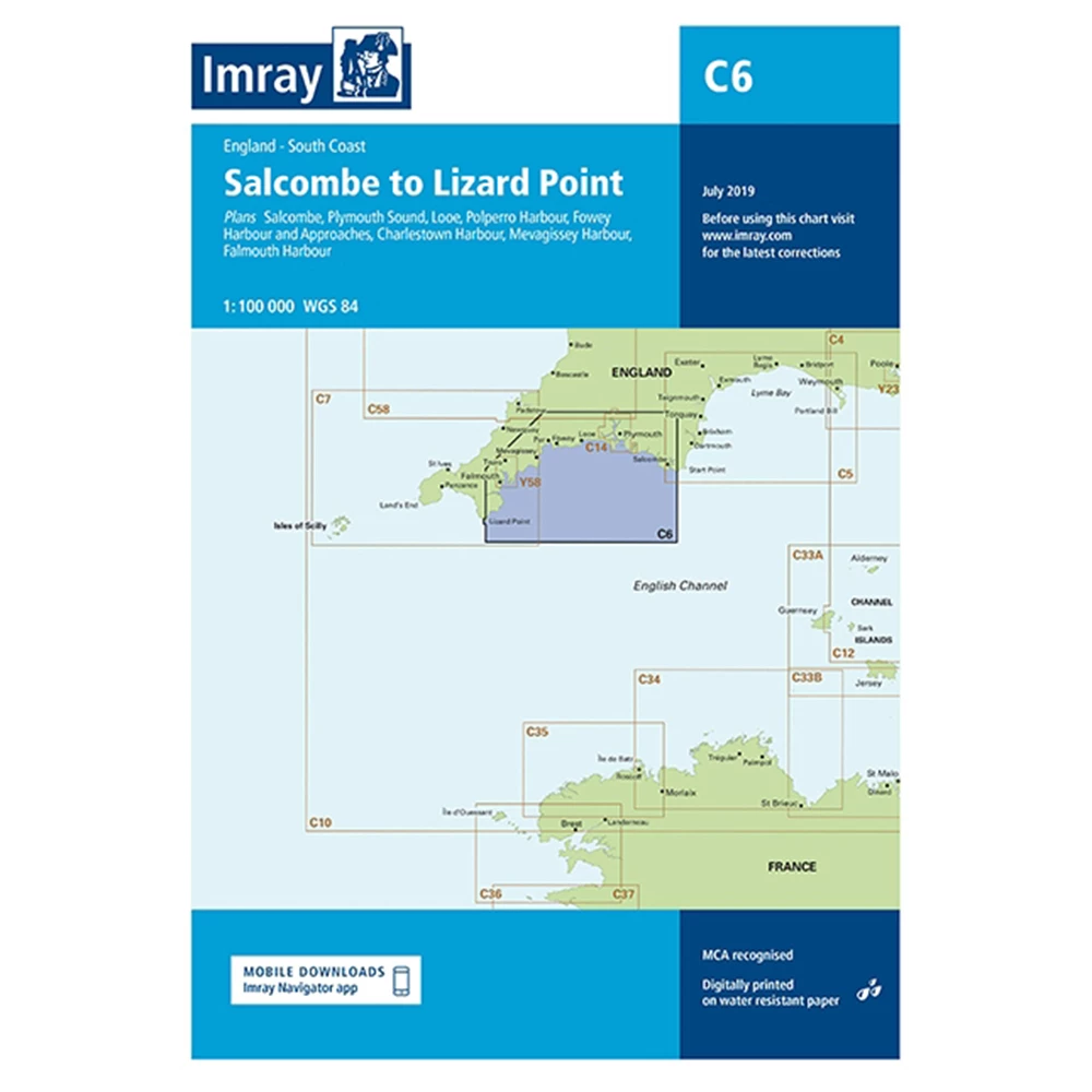
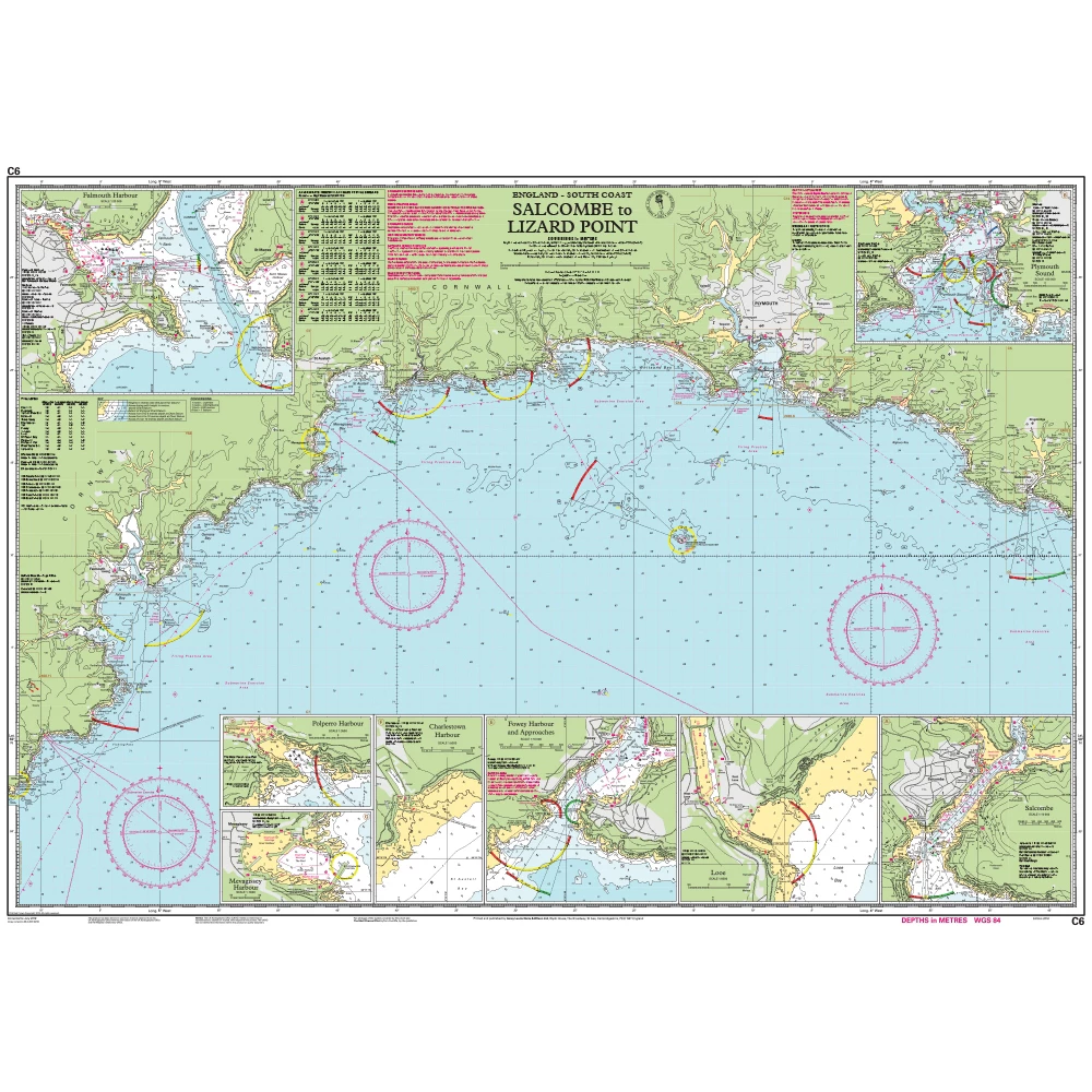
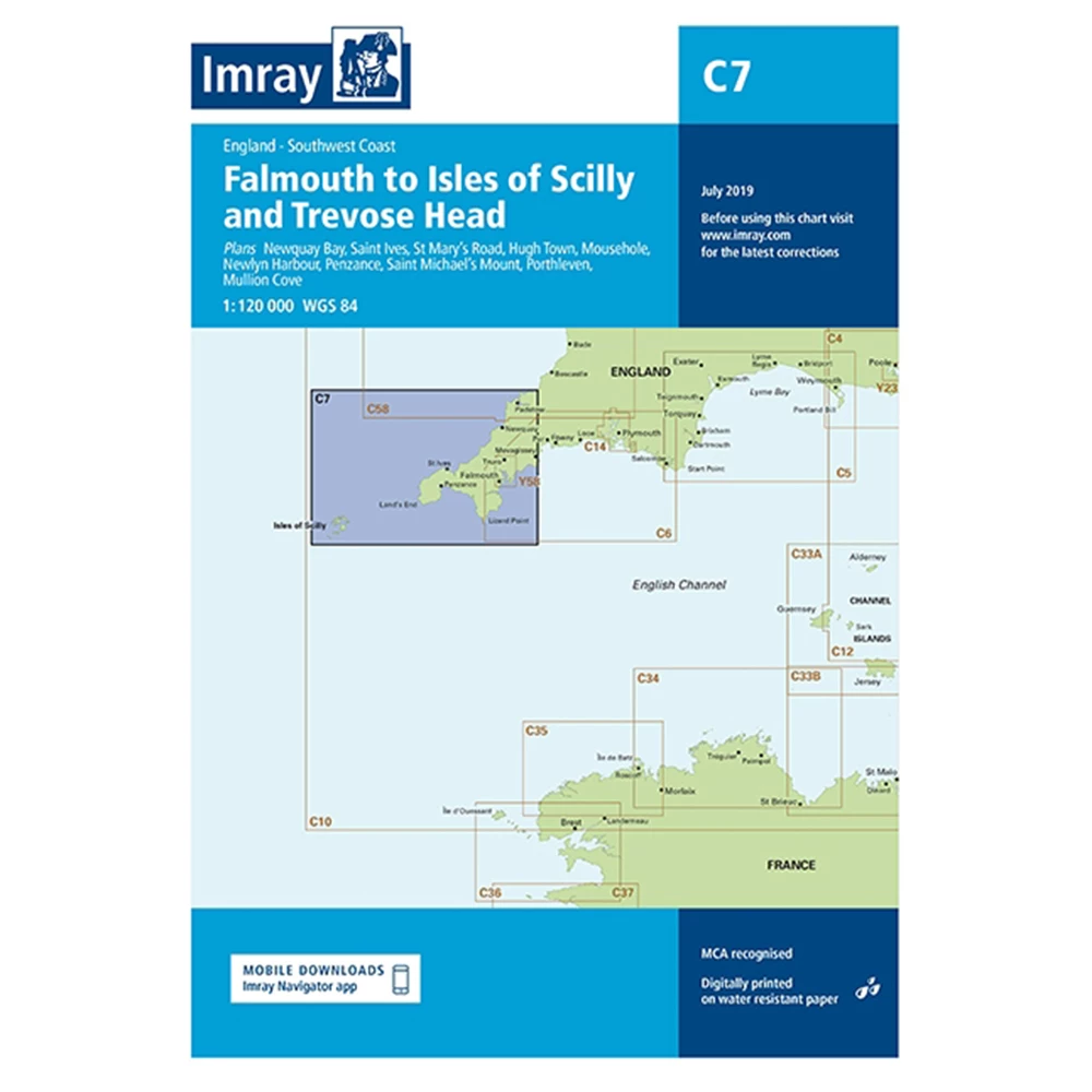
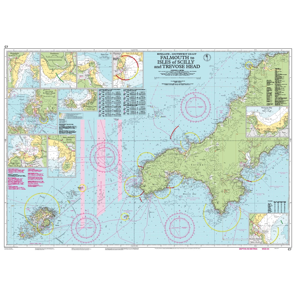
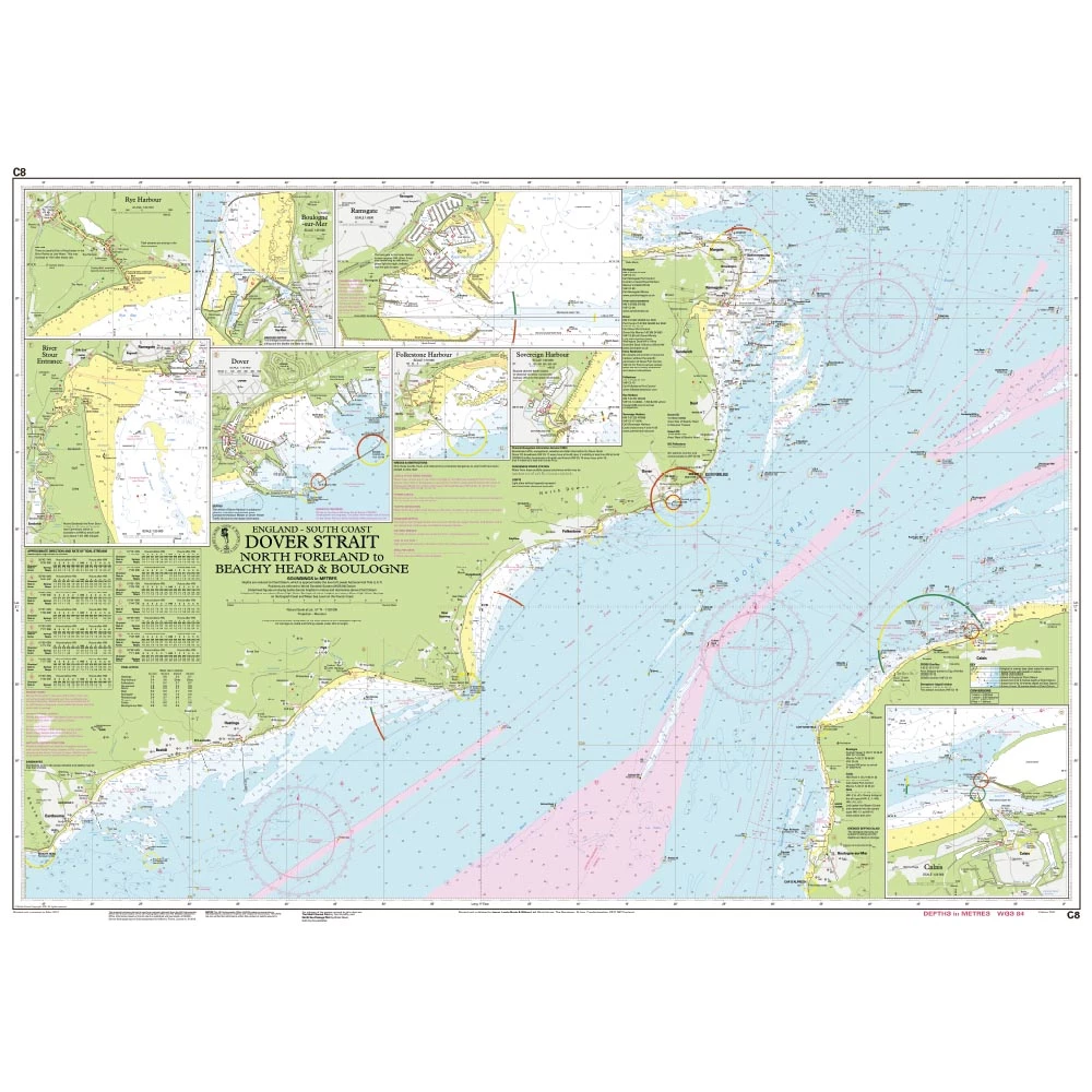
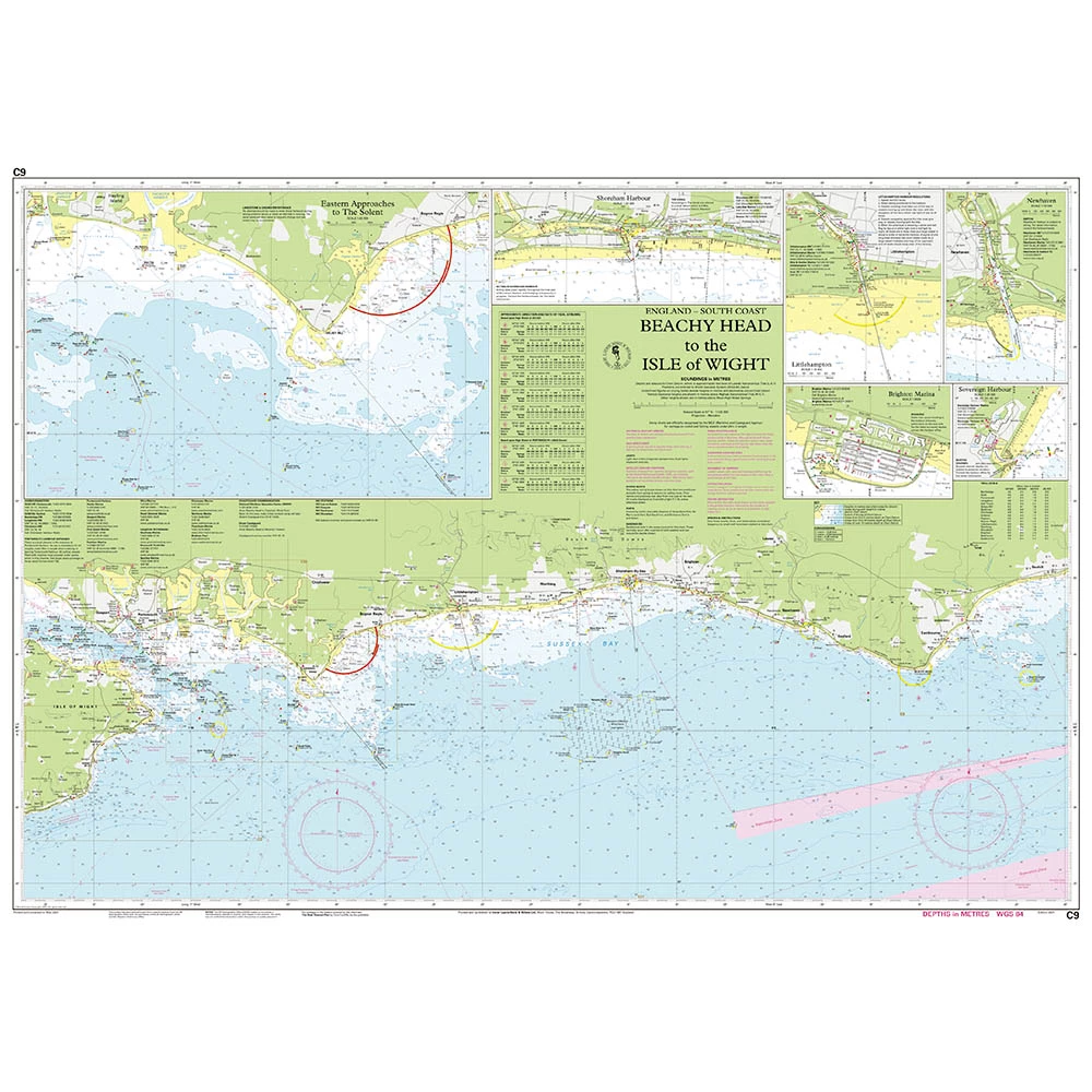
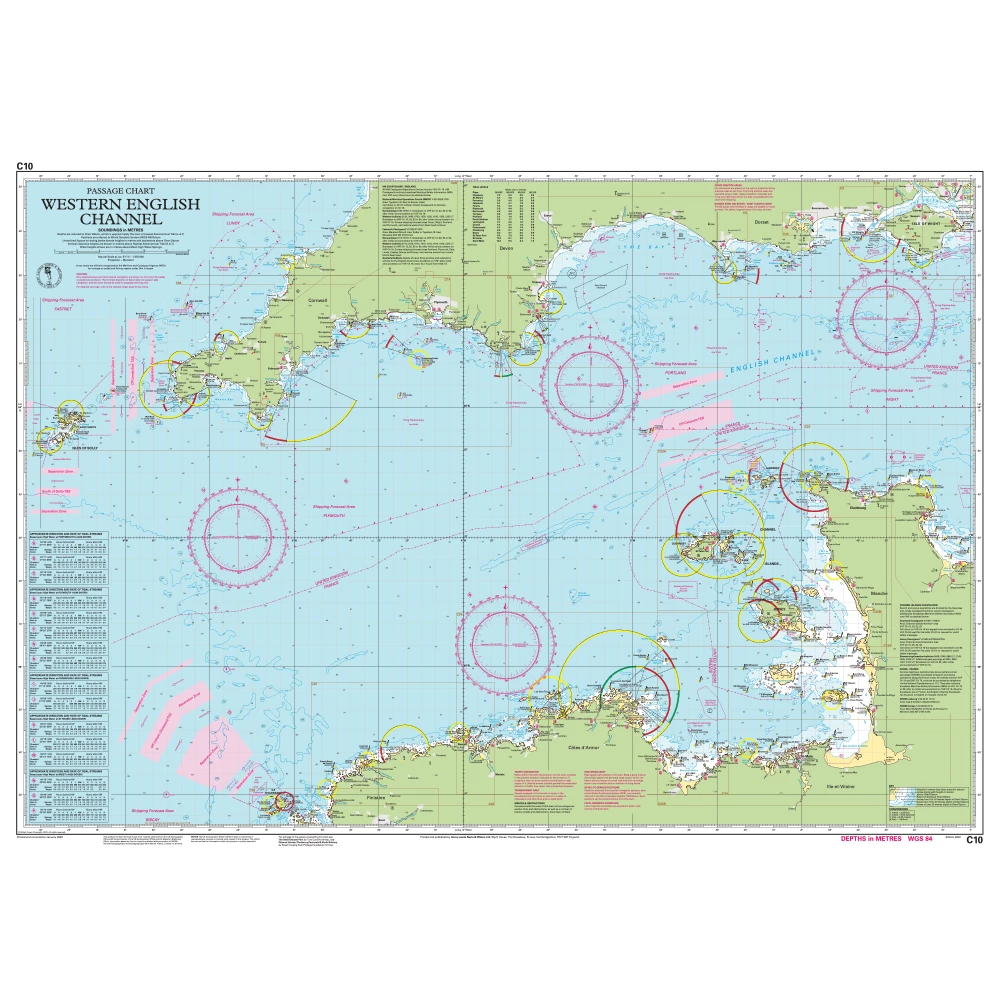
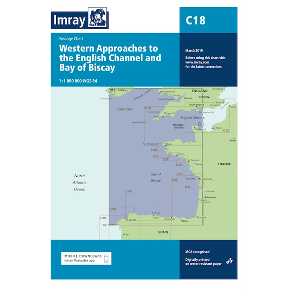
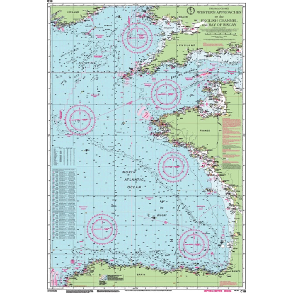
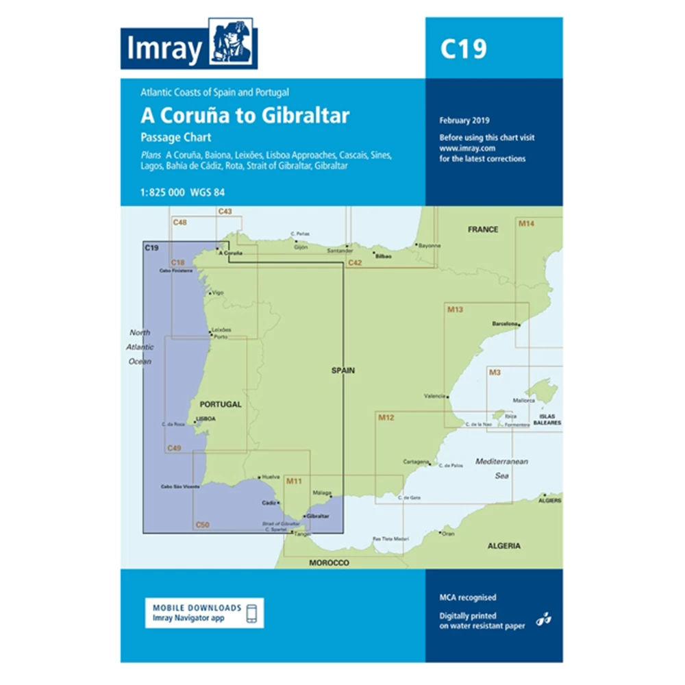
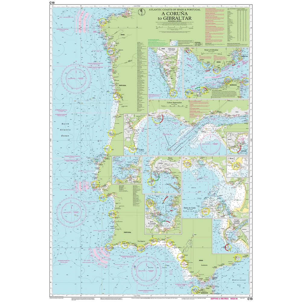
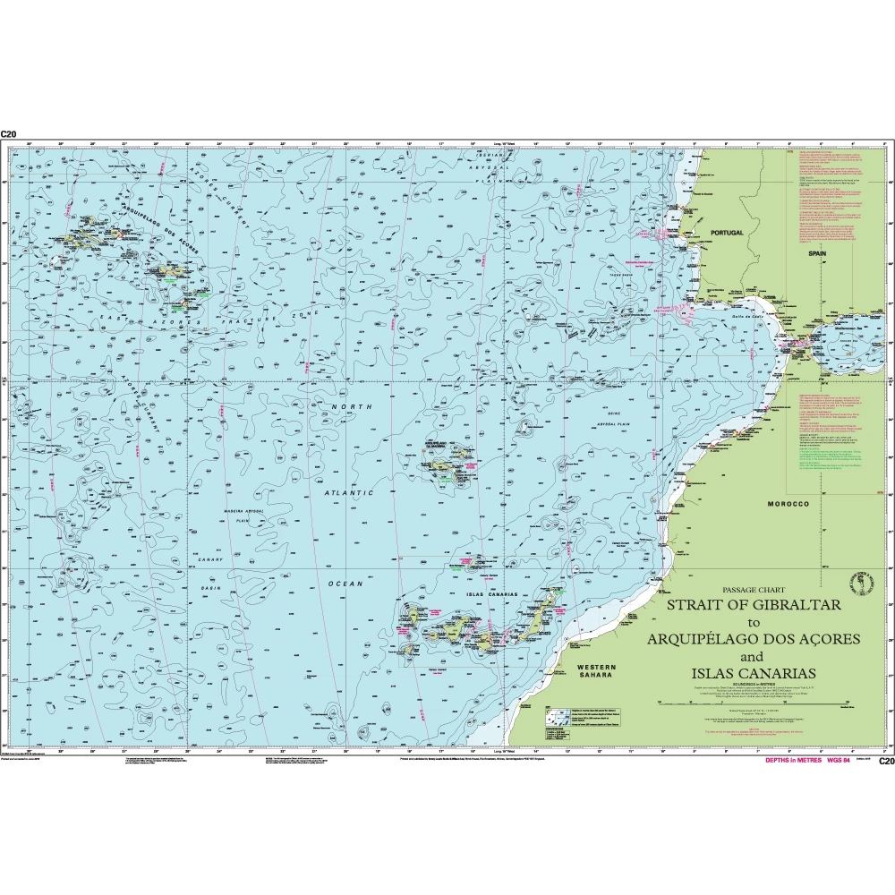
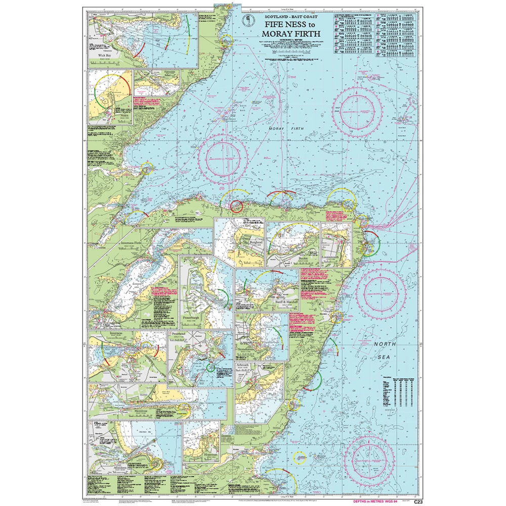
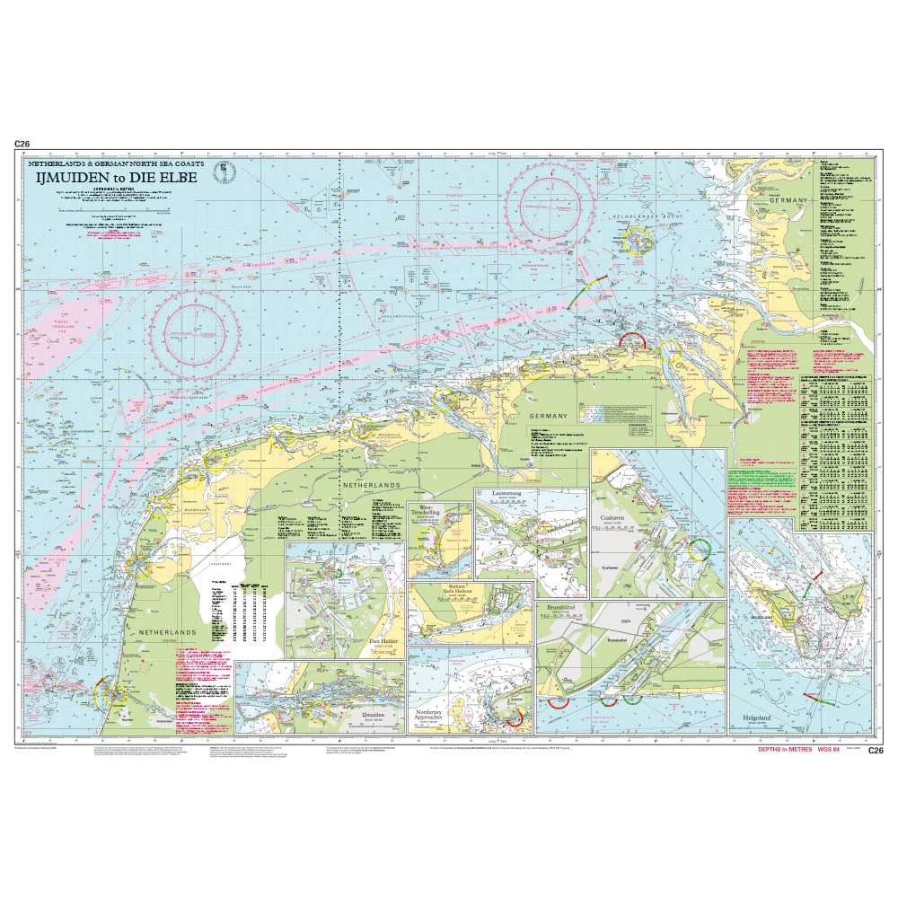
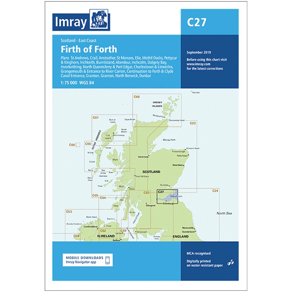
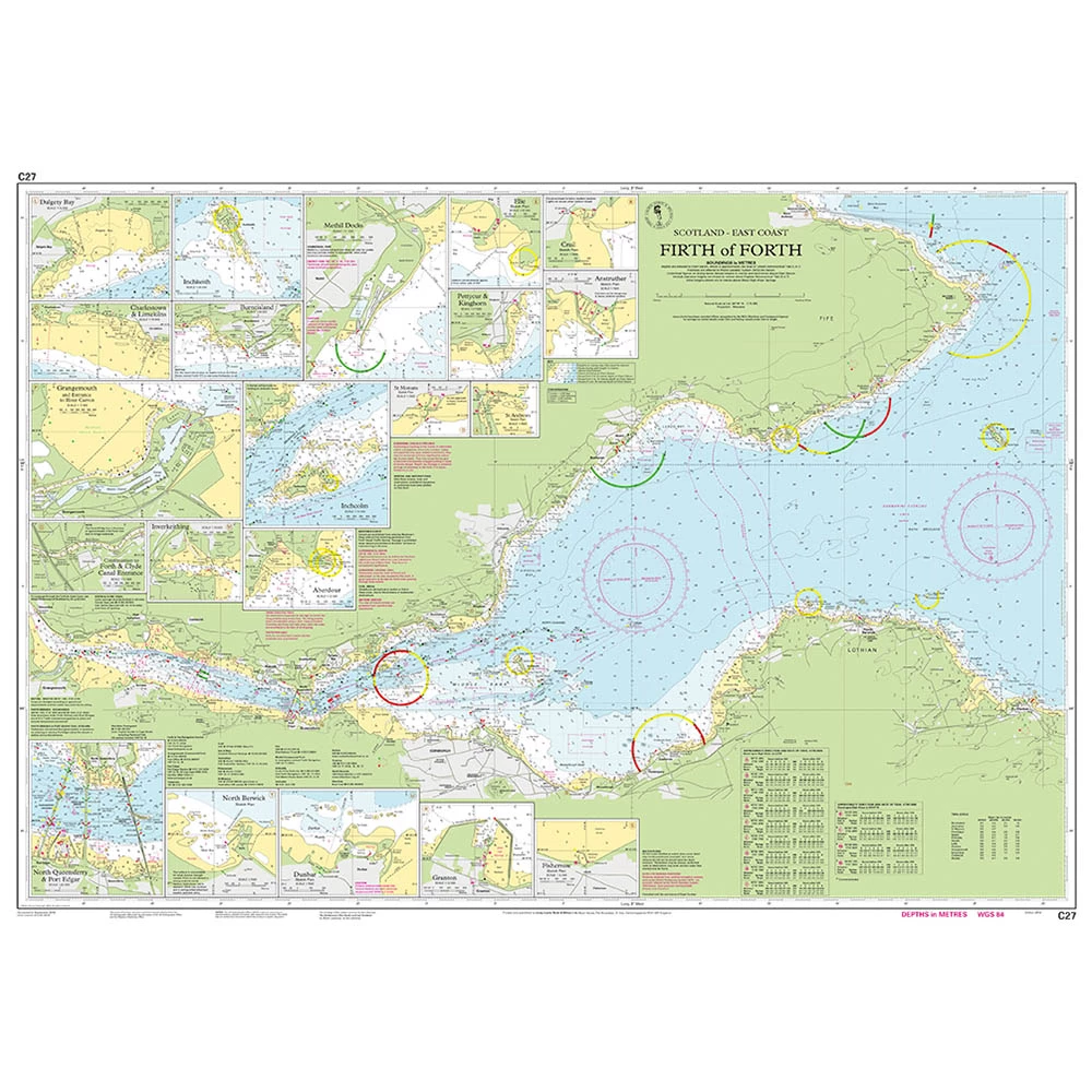
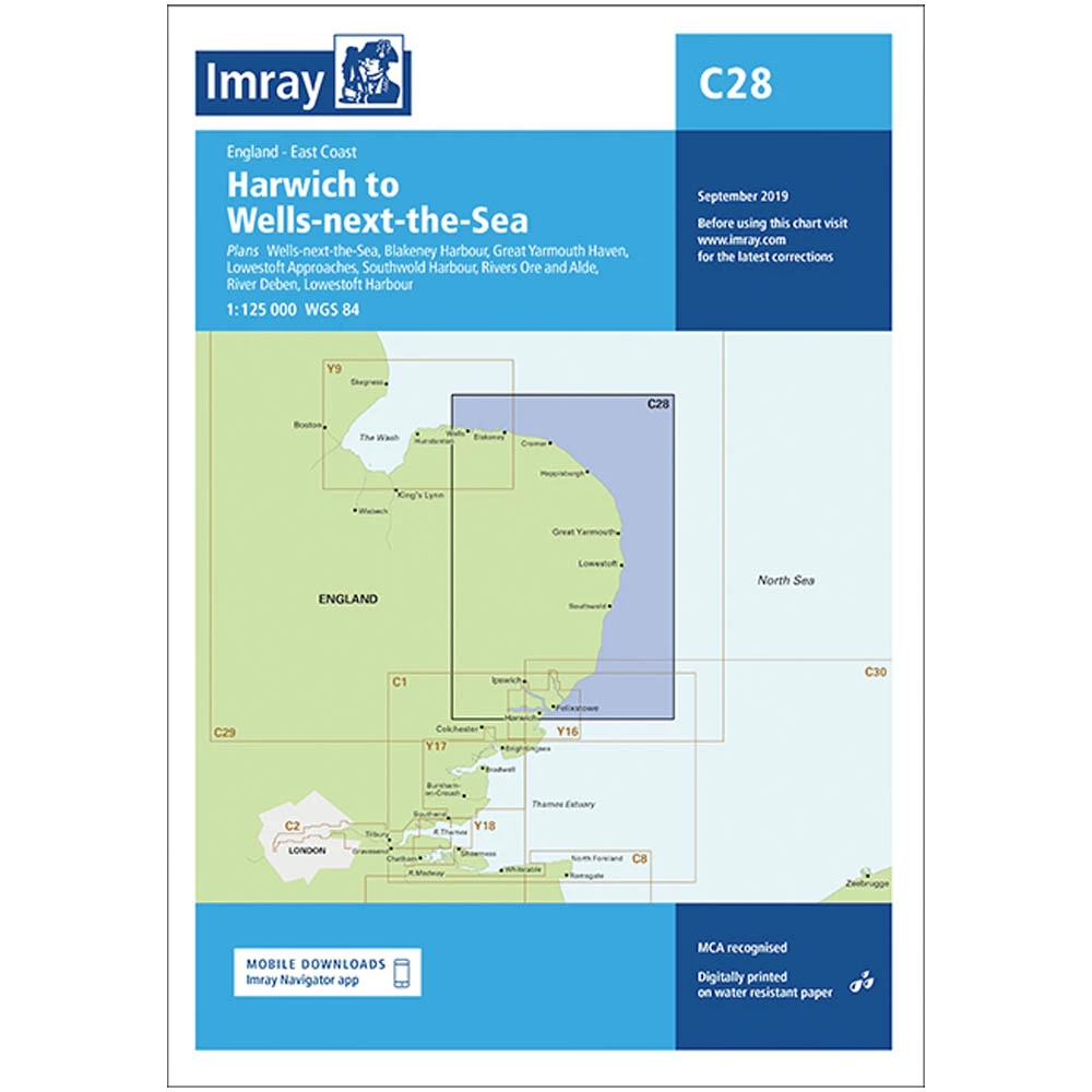
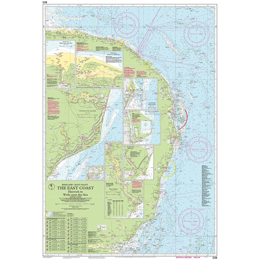
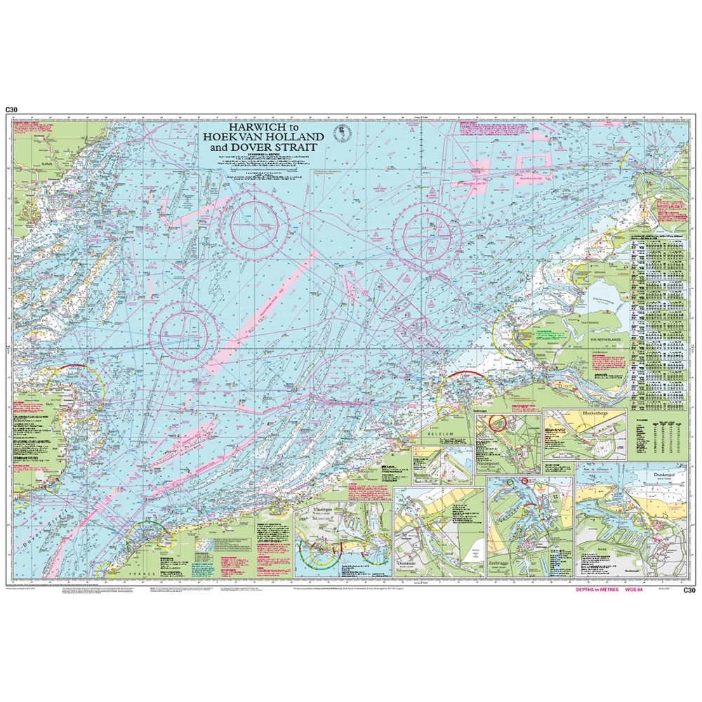
Imray produces paper charts for navigation that cover many of the world's most seas and oceans.
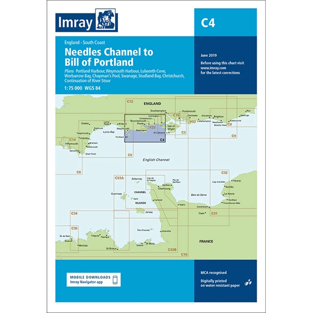
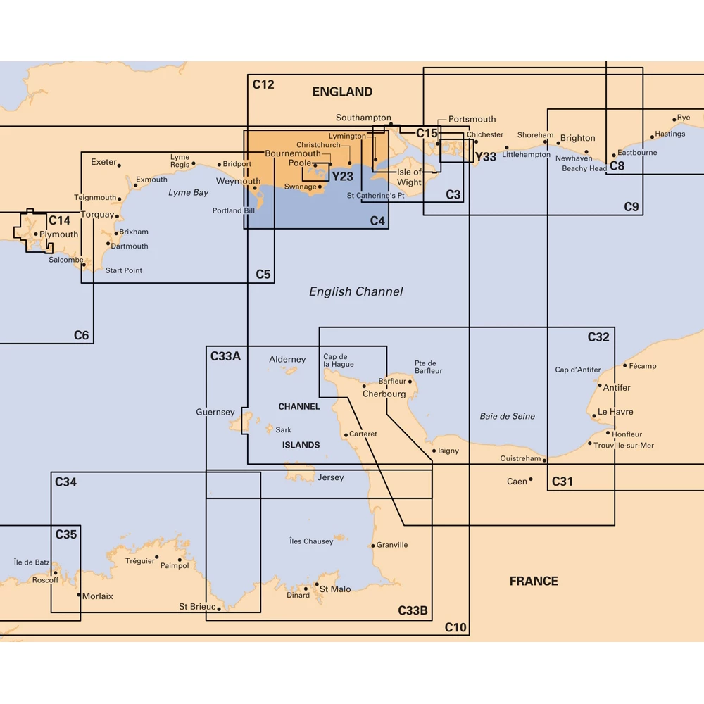
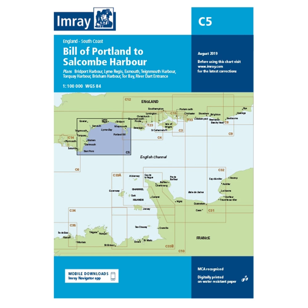
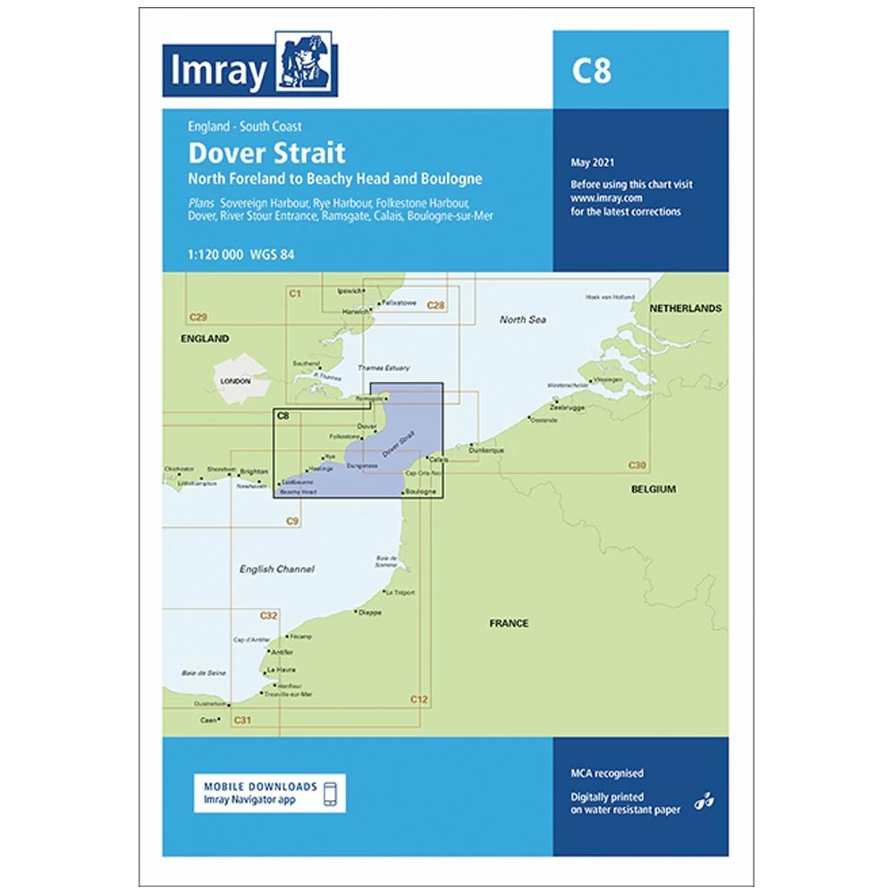
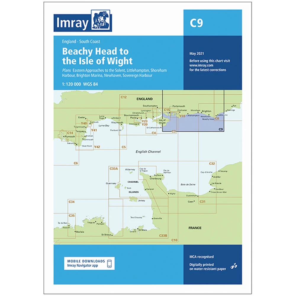
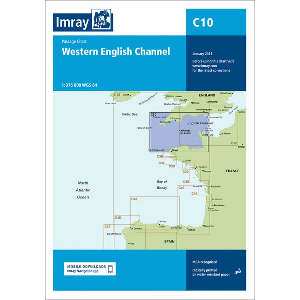
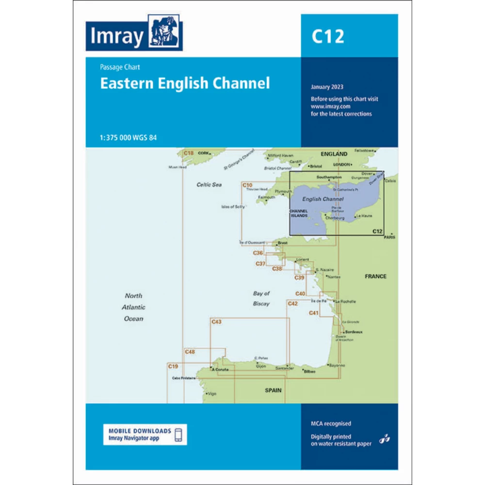
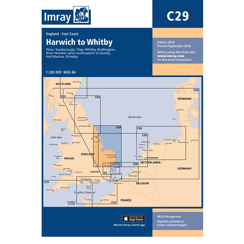
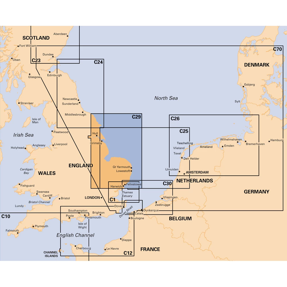
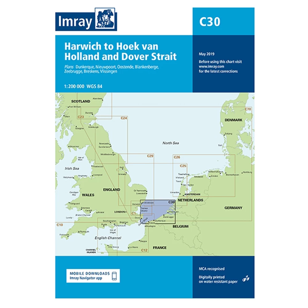
Imray charts range from the waters of Britain and Ireland to Northwest Europe. They also have an extensive collection through the Mediterranean sea, Atlantic Ocean and islands of the Caribbean sea.
Their extensive range of charts and chart folio packs contain official data provided from international Hydrographic Offices. This makes Imray charts one of the most relevant and up to date sources information for leisure and small craft users.
Imray print paper charts on water-resistant paper, tailored for sailors. They then package them in a sturdy recycled PVC wallet perfect for life on board.