Garmin Electronic Charts
Get more from your marine electronics with Garmin’s most advanced charting options.
Garmin Navionics Vision+™ charts deliver premium navigation tools — including high-res relief shading, satellite imagery and aerial photography. Perfect for those seeking a clearer picture of what’s below and around you.
Alongside Vision+, we also stock Garmin Navionics+™. Combining trusted Garmin and Navionics data in a streamlined format with regular daily updates.
Using an older Garmin unit? No problem. BlueChart® g3 maps offer comprehensive coastal coverage with reliable depth and contour data for compatible plotters and handhelds.
From weekend sailing to offshore cruising, find the chart that fits your journey.

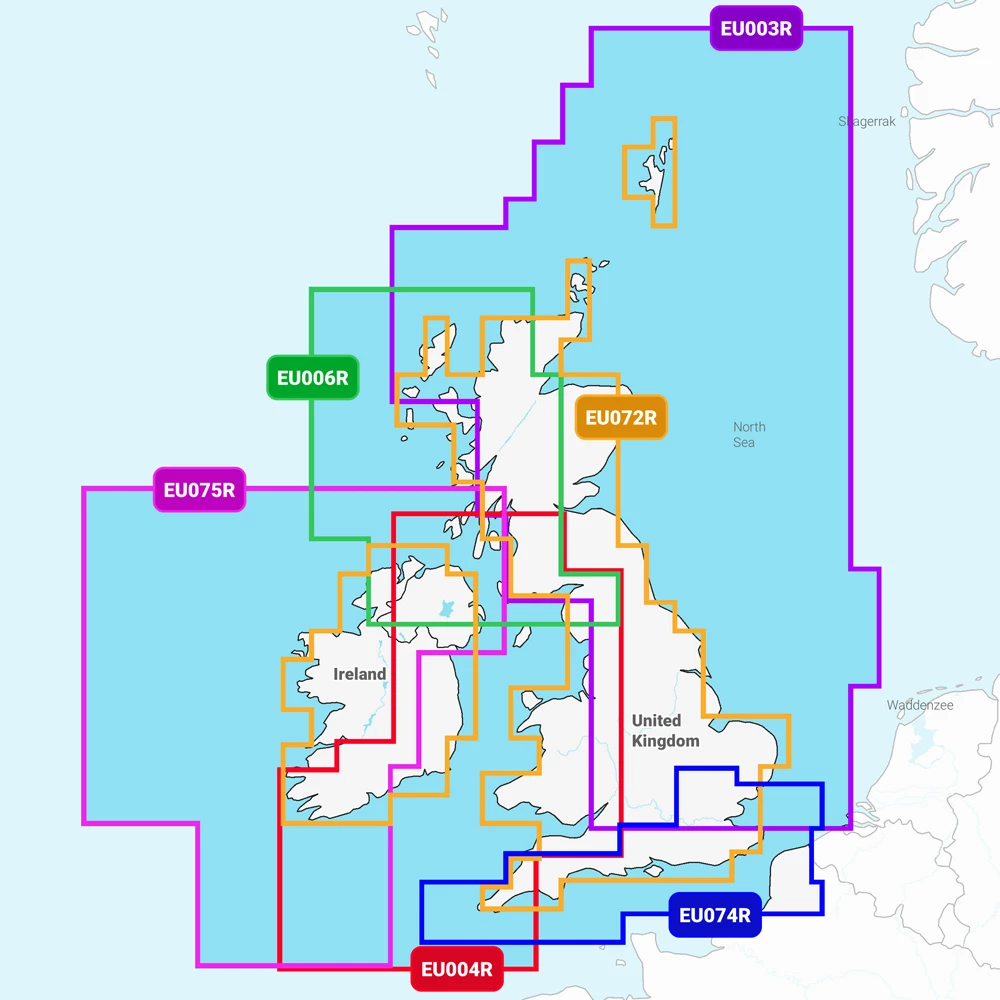
Catalogue Code: GNAV+UKR
£149.99
Available to buy online
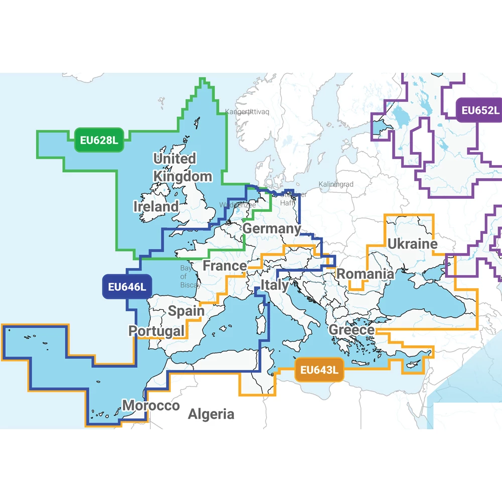
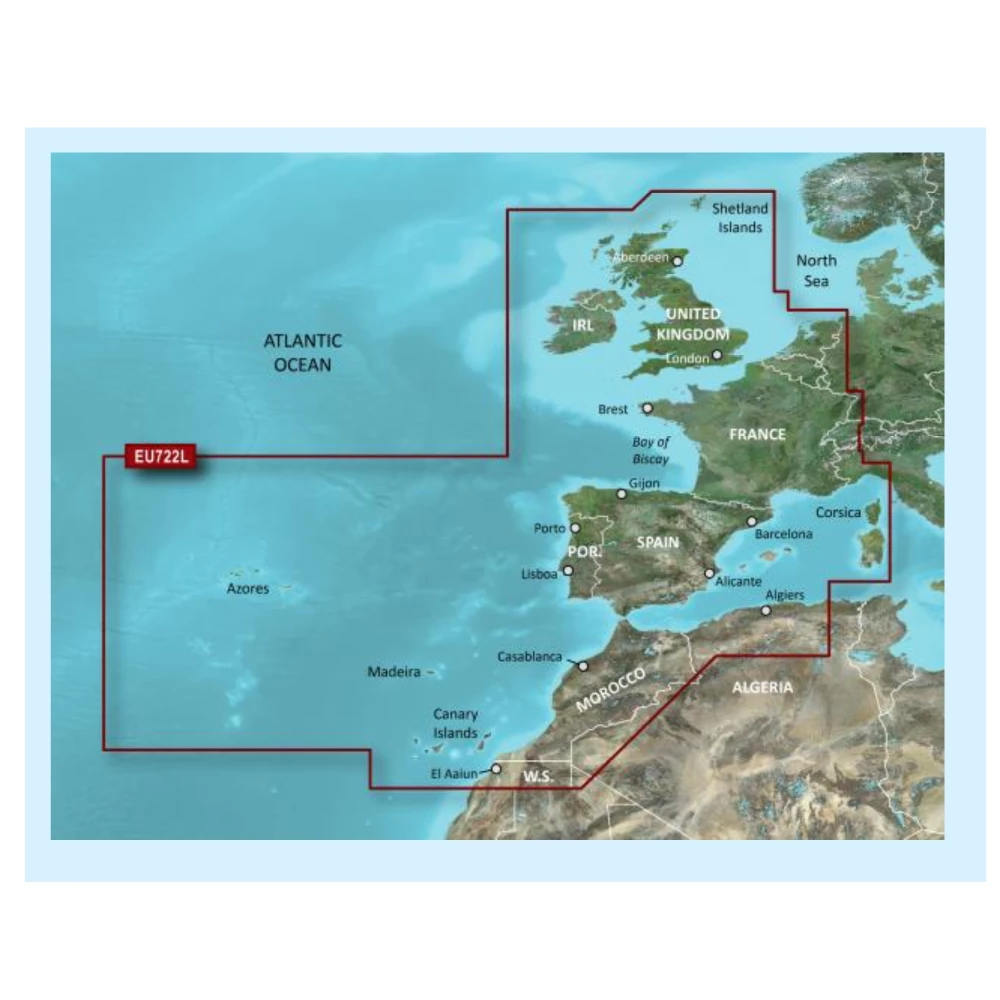
Catalogue Code: GNAV+EUL
£229.99
Available to buy online

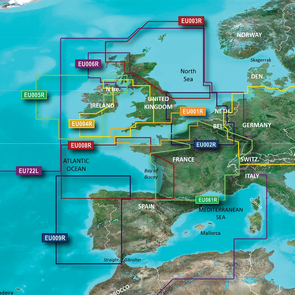
Catalogue Code: GNVV+UKR
£239.99
Available to buy online

Catalogue Code: GNNV+EUL
£319.99
Available to buy online

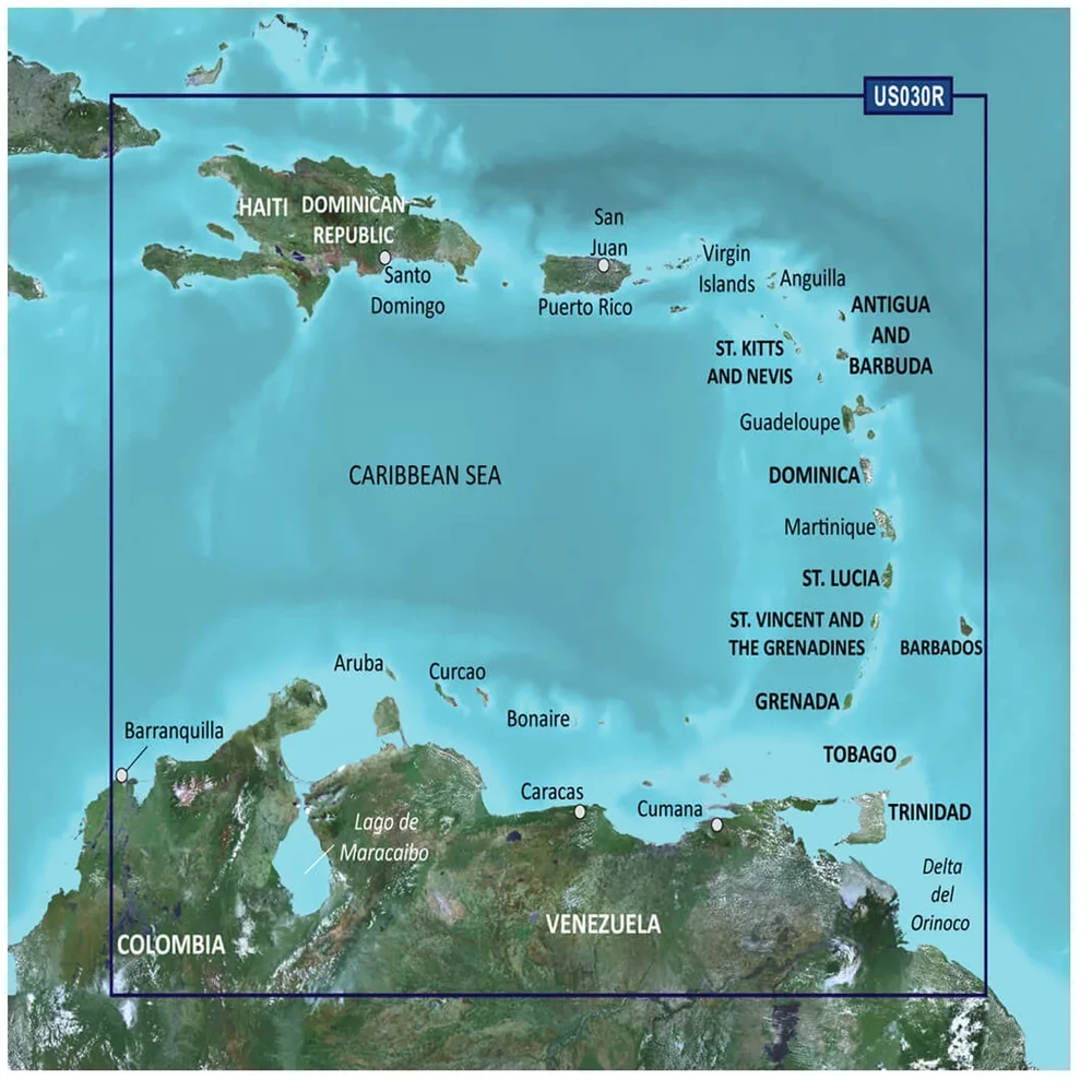
Catalogue Code: G3US030R
£149.95
Available to buy online
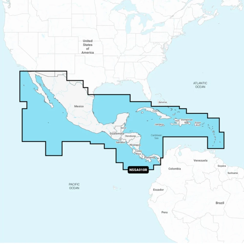
Catalogue Code: GNAVNSSA010R
£139.95
Available to buy online

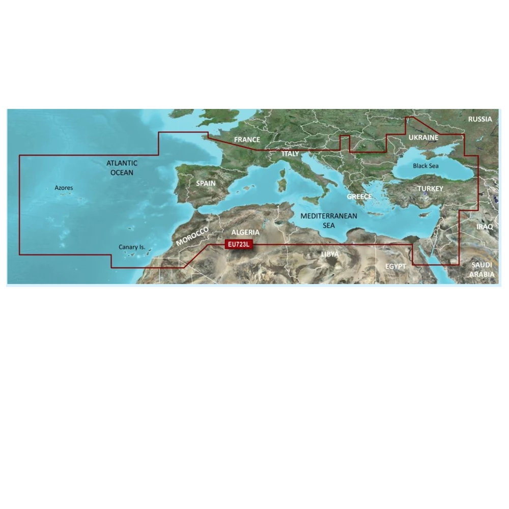
Catalogue Code: EU723L-VIS
£389.95
Available to buy online
Catalogue Code: EU722L-VIS
£389.95
Available to buy online
Recently Viewed Items

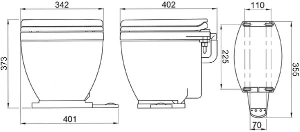
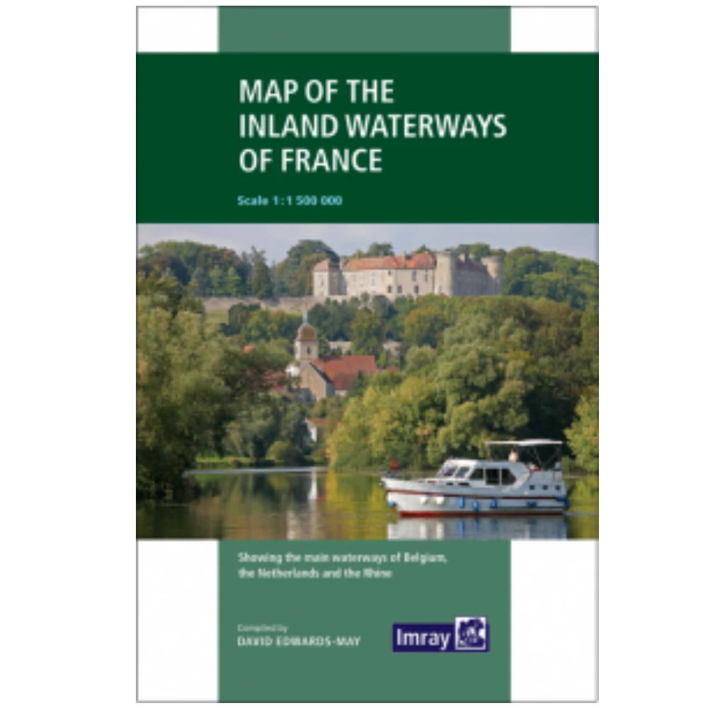
Catalogue Code: 830368
£849.95
Save £295.63
RRP £1,145.58
Available In-store to call & collect
Available to buy online
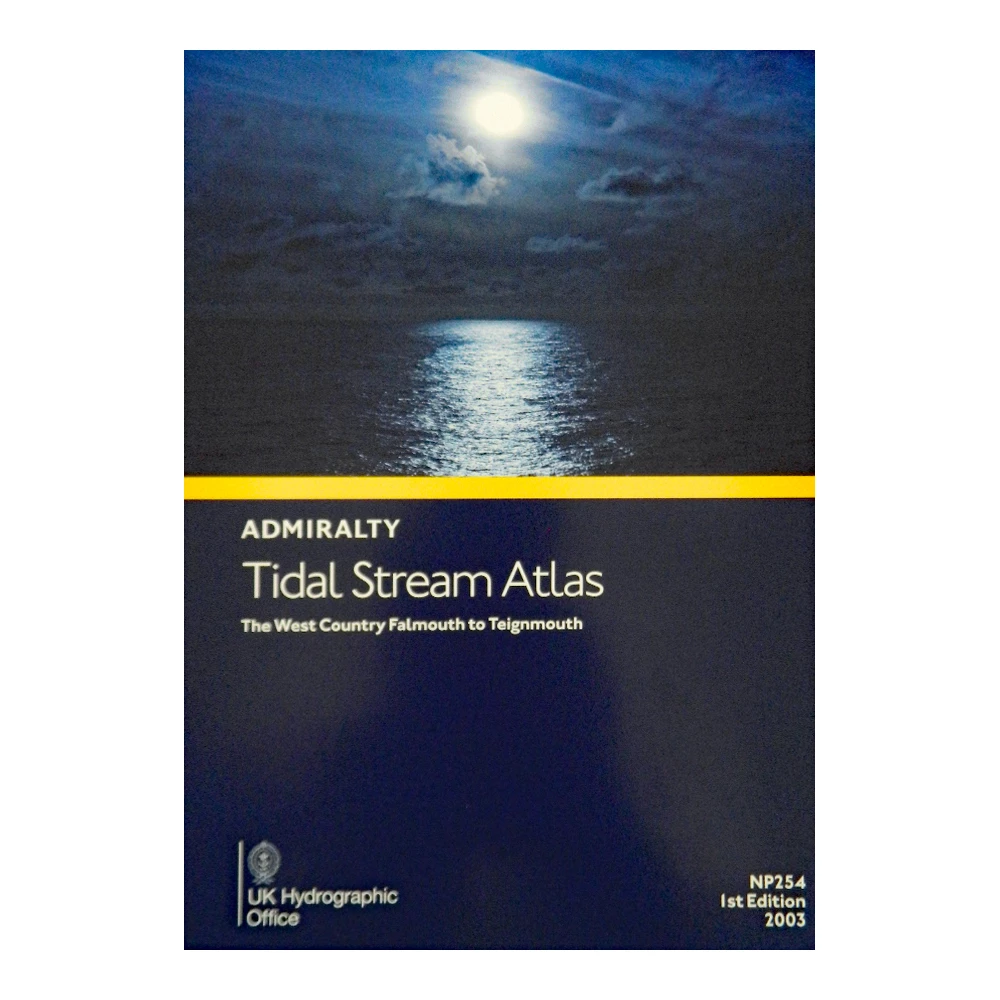
Catalogue Code: NP254
£27.95
Available In-store to call & collect
Available to buy online
Catalogue Code: 700167
£11.95
Save £1.00
RRP £12.95
Available In-store to call & collect
Available to buy online