Garmin Electronic Charts for Coastal & Inland Navigation
Explore with confidence using Garmin's industry-leading marine cartography. No matter if you are sailing along the coast, exploring rivers, or going out to sea, Garmin's electronic charts have what you need.
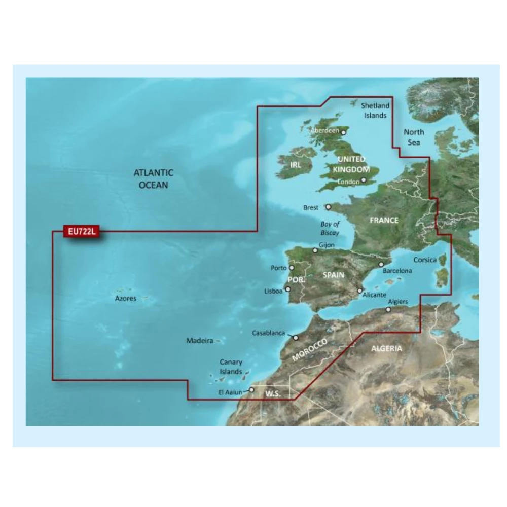
Choose Between Garmin Navionics+ and BlueChart g3 Charts
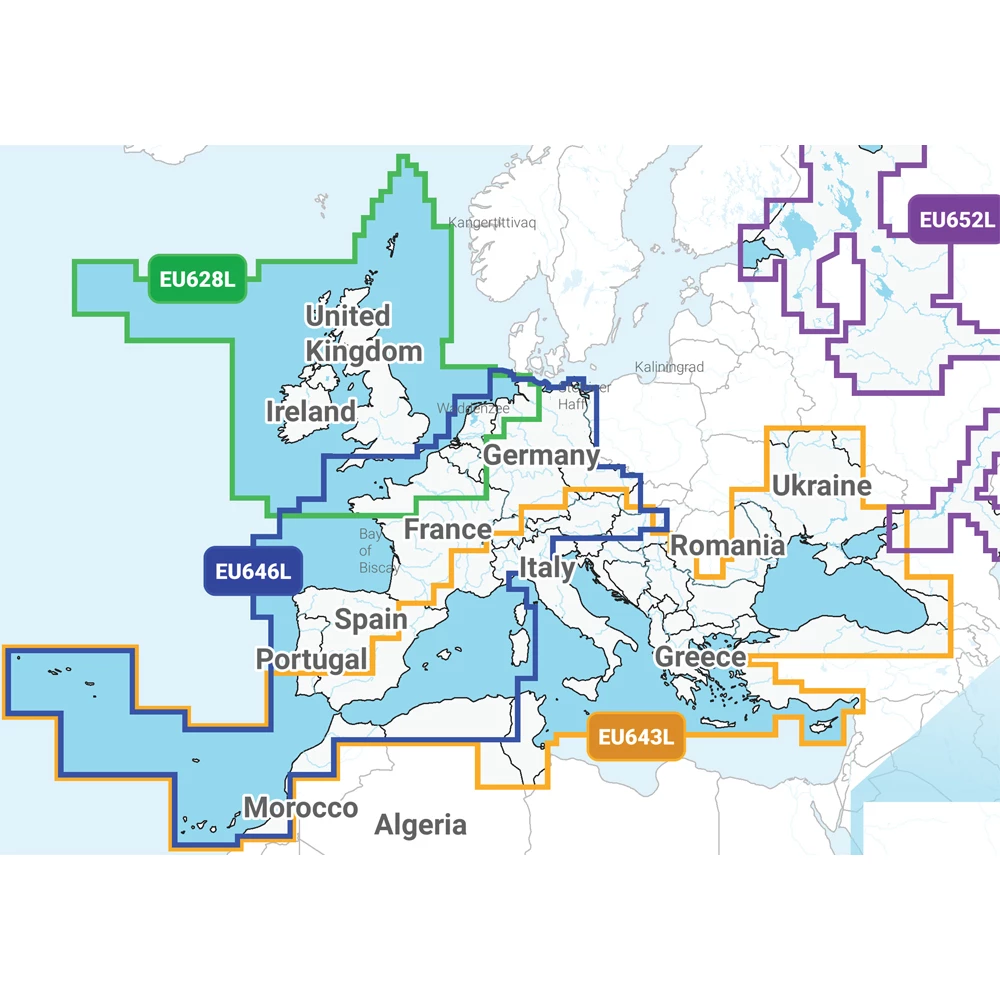
Choose Garmin Navionics+™ for integrated marine and inland content, vibrant colours, and daily updates via the ActiveCaptain® app. Prefer extra features? Upgrade to Garmin Navionics Vision+™ for high-resolution relief shading, satellite imagery, and aerial harbour views.
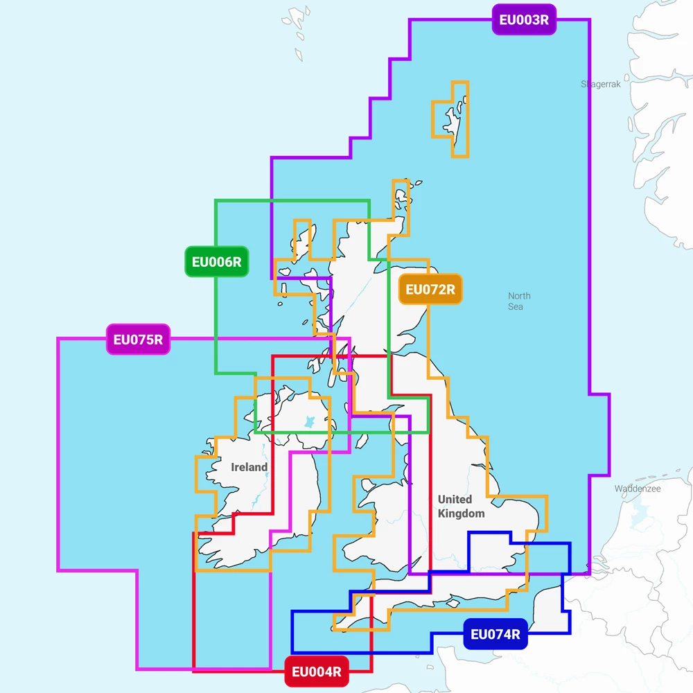
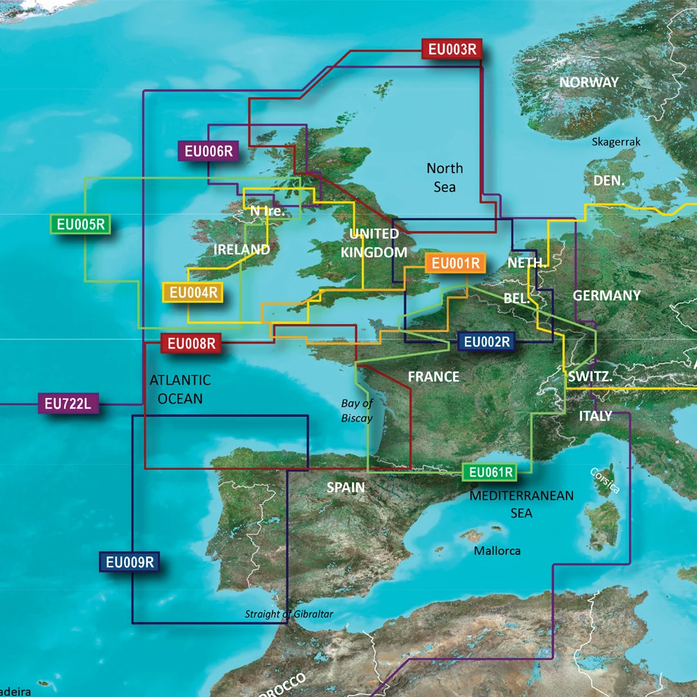
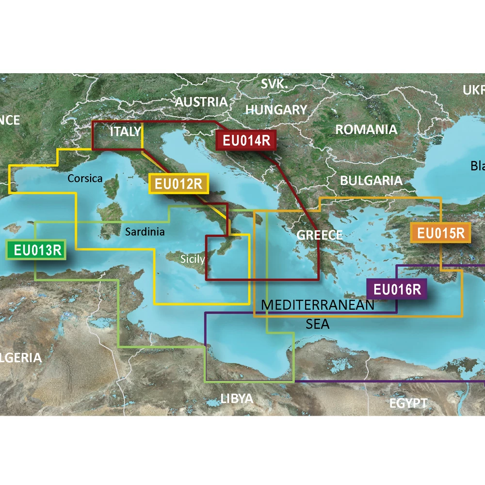
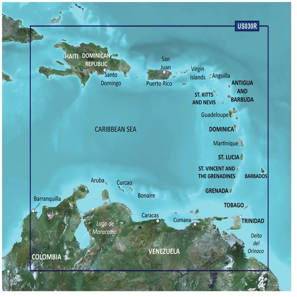
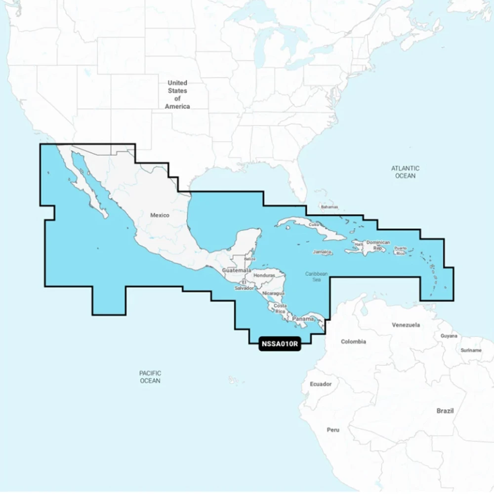
Still using a compatible Garmin plotter with the previous format? We also stock Garmin BlueChart® g3 charts – a reliable, well-established option. They combine Garmin and Navionics data with Auto Guidance and detailed depth shading.
Whatever your chartplotter, Garmin’s electronic charts give you the detail, clarity, and reliability needed for safer, smarter navigation.