Paper & Electronic Charts

Force 4 stock Paper Charts from Imray and Admiralty and Electronic Charts by Navionics, Garmin and C-Map

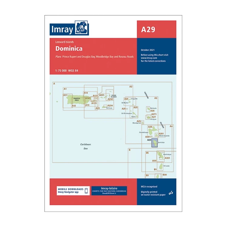
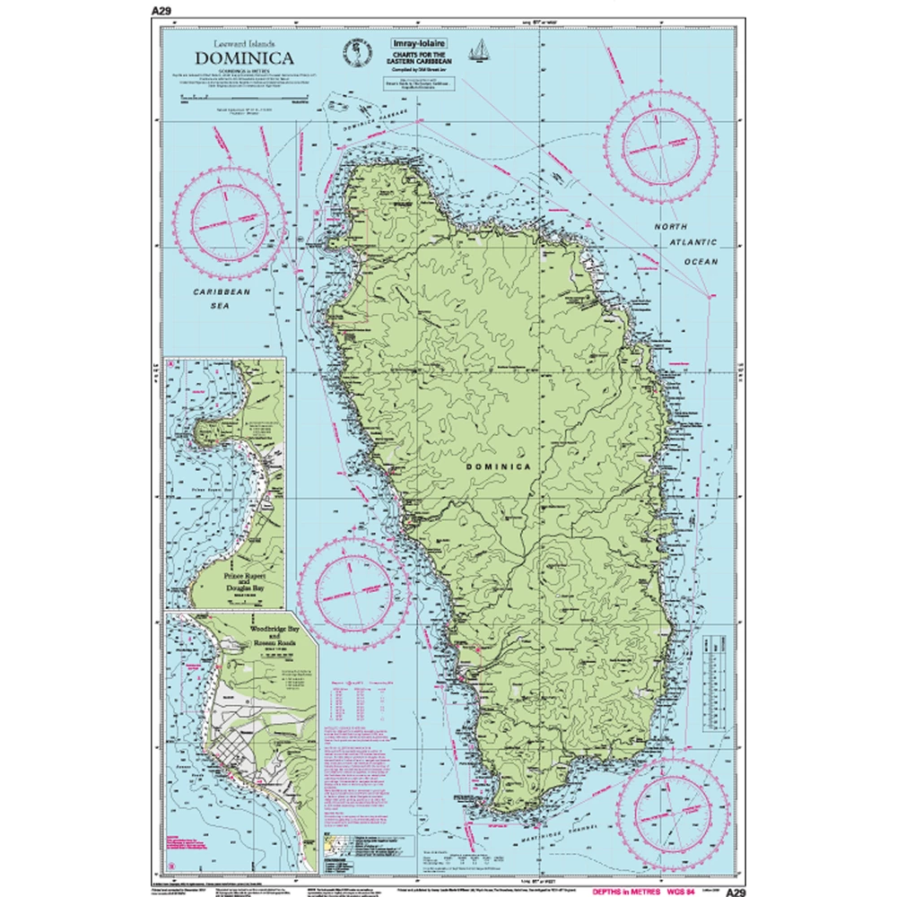
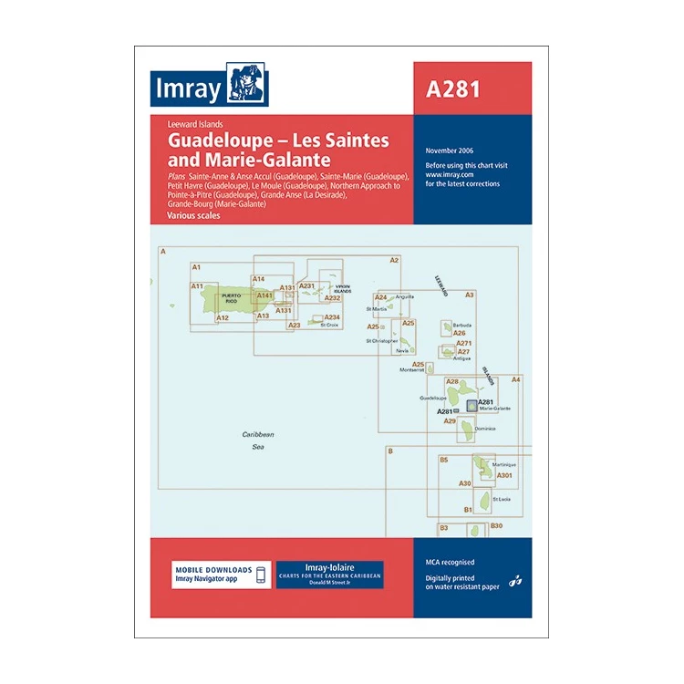
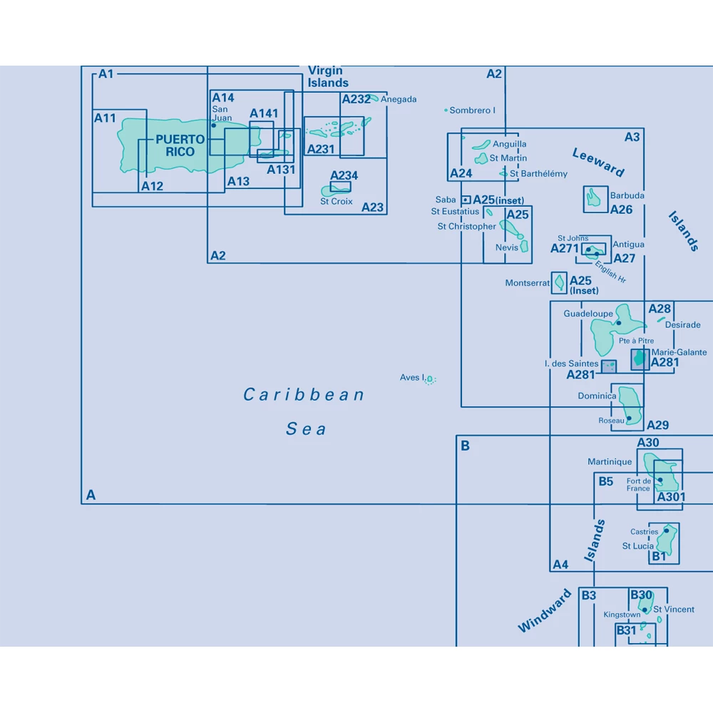
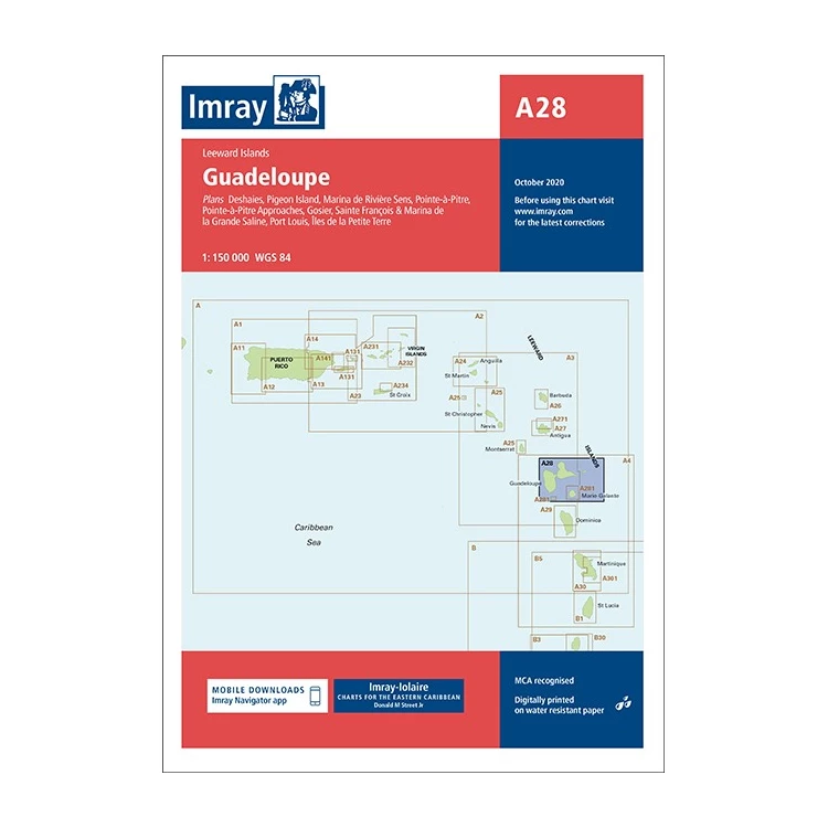
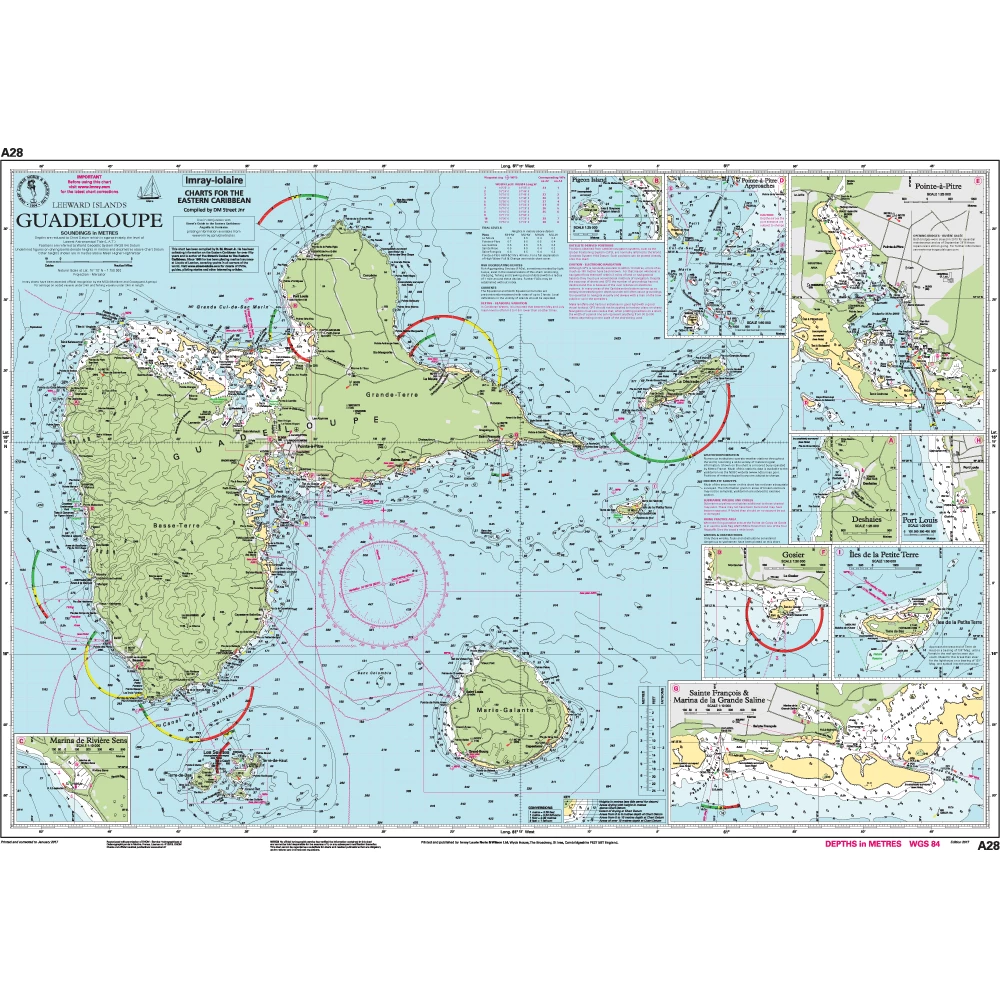
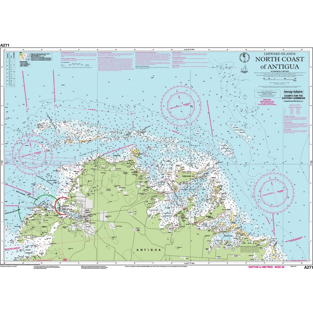
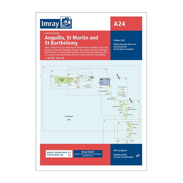
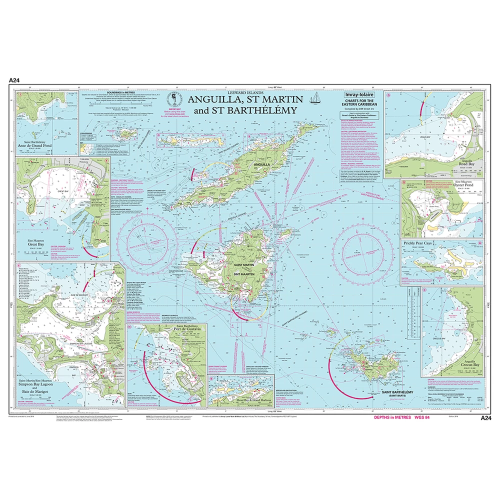
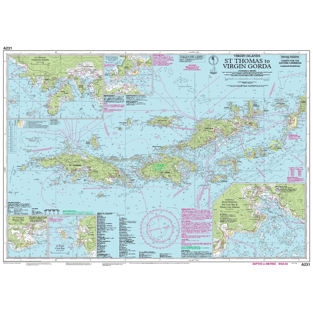
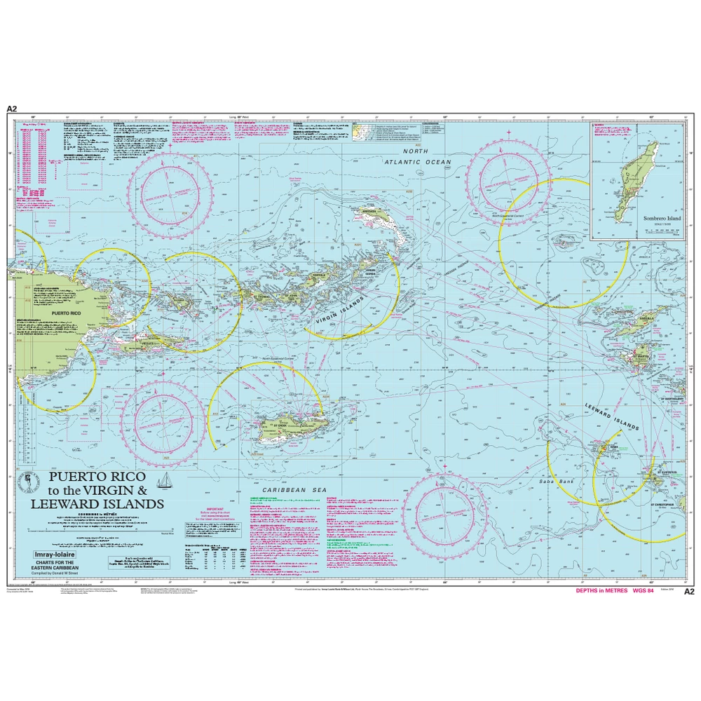
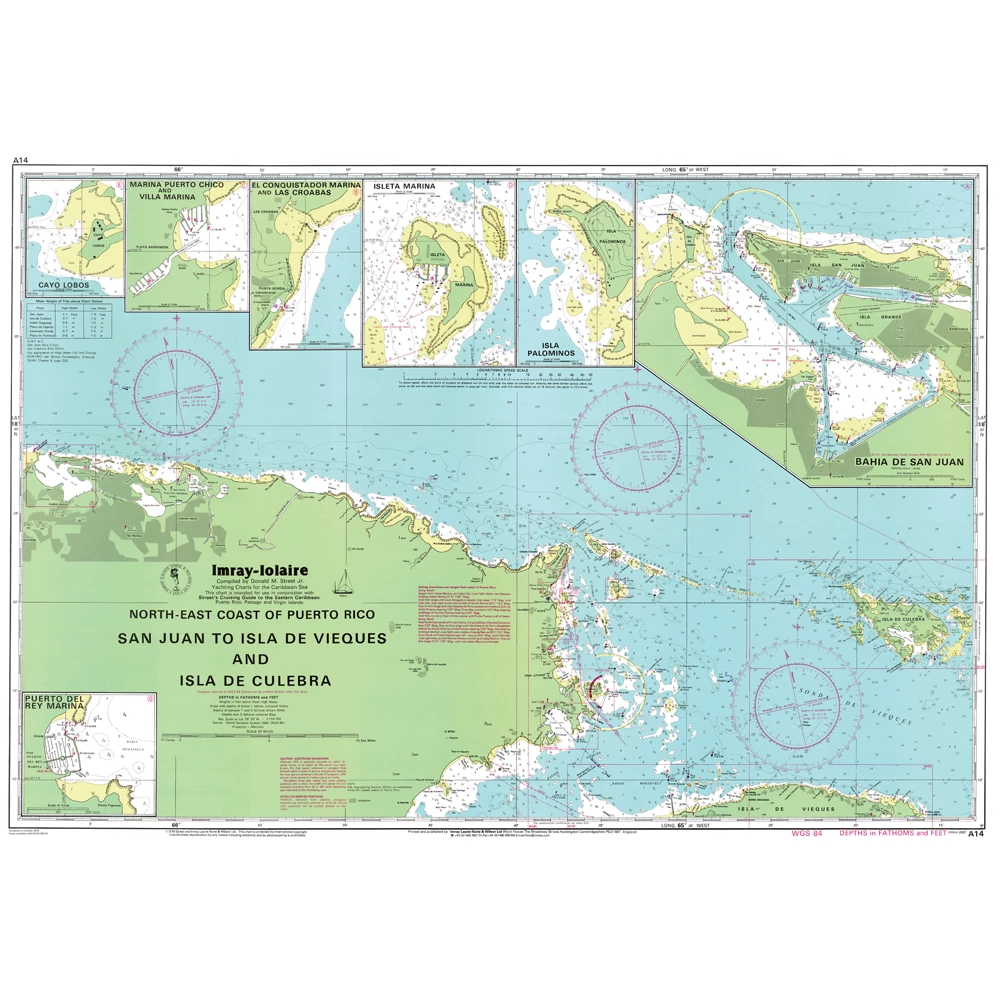
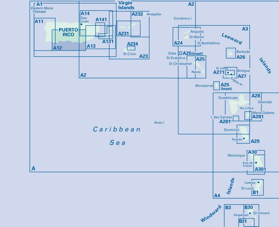
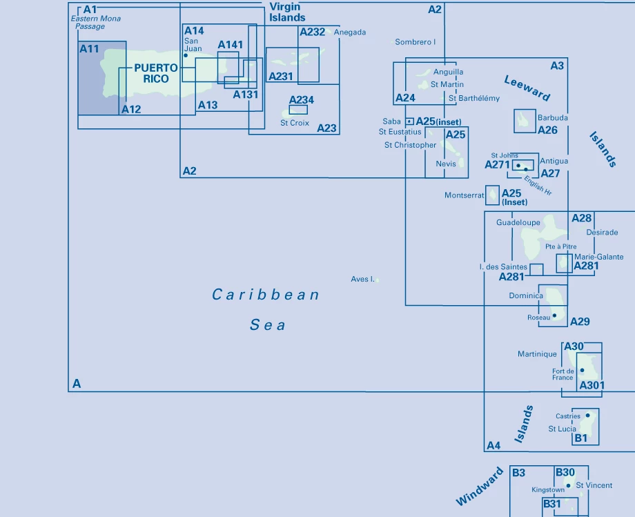
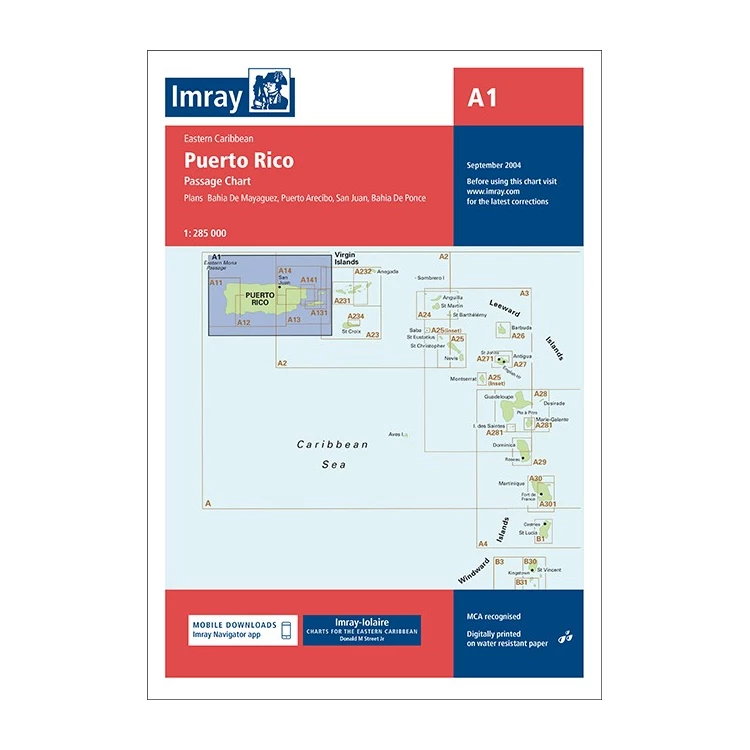
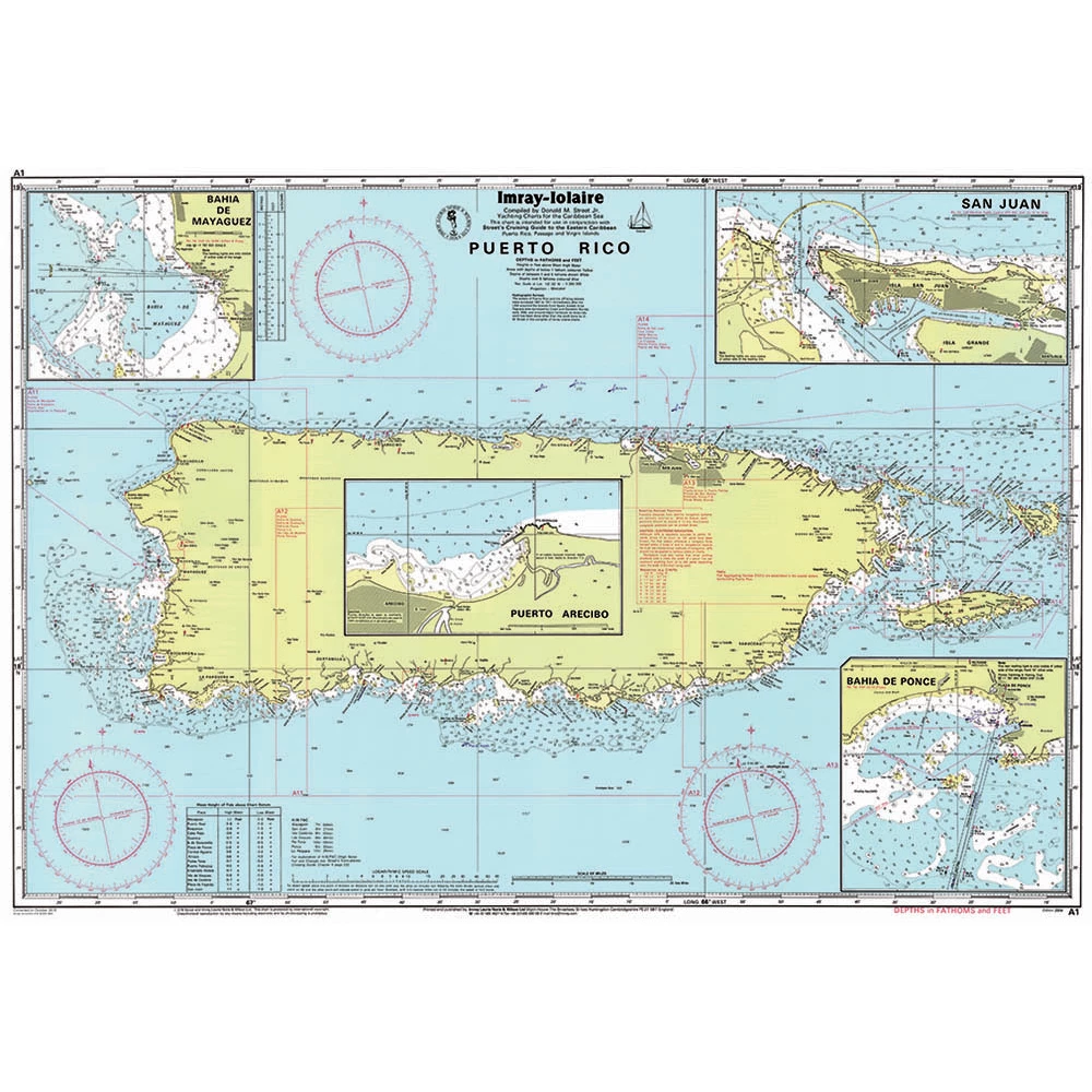
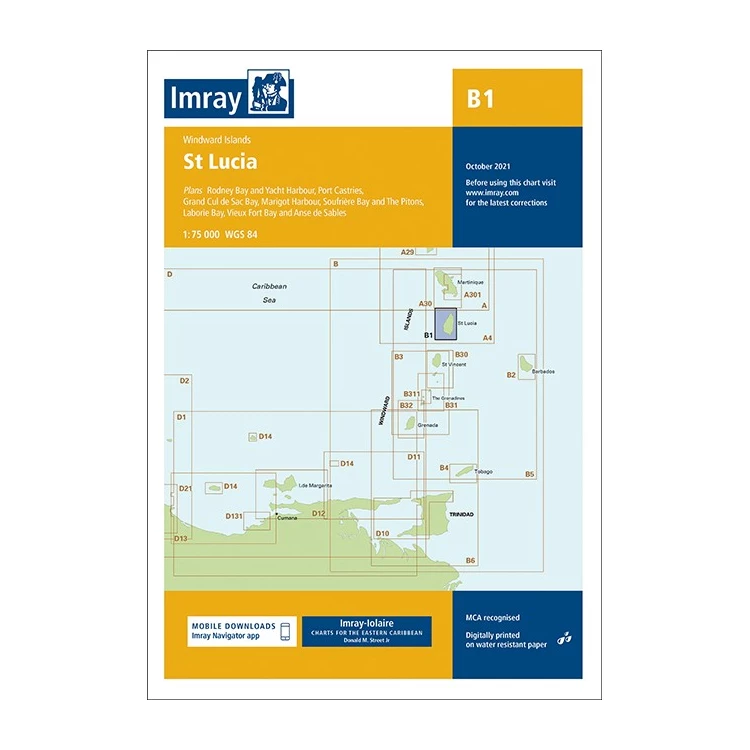
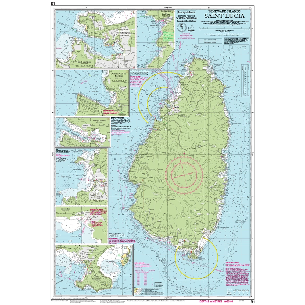
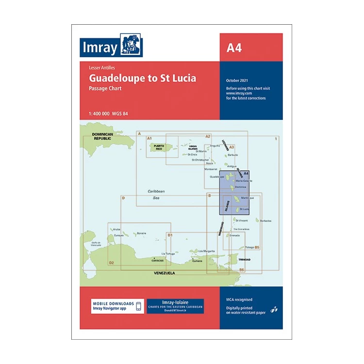
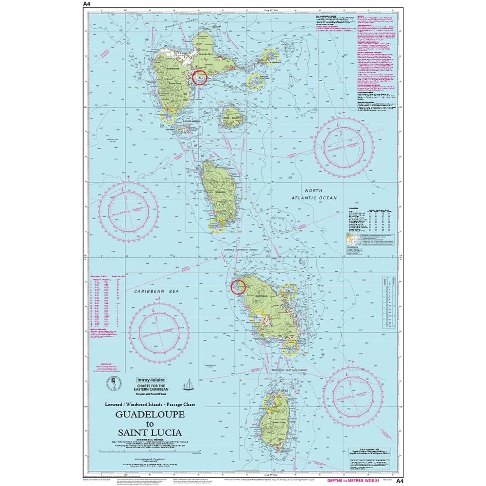
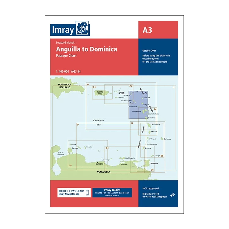
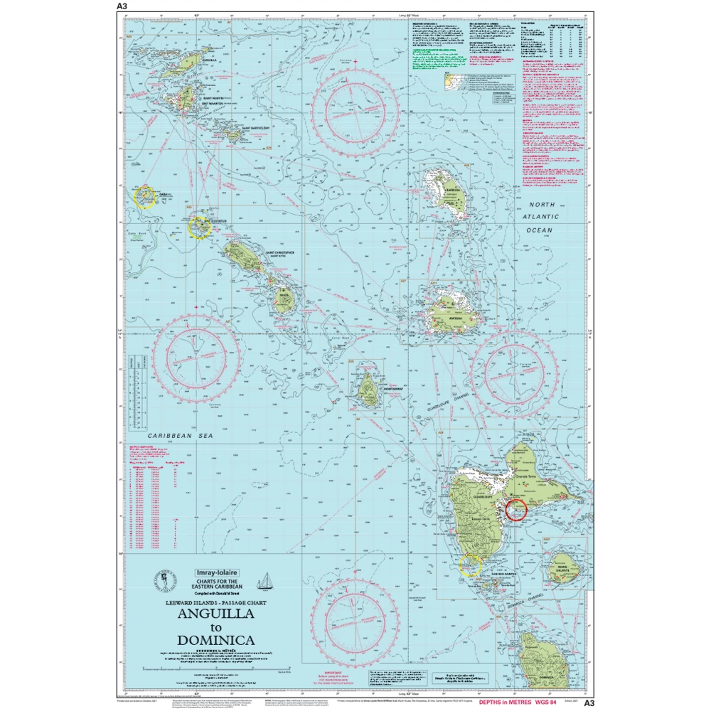
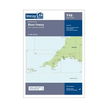
Marine or Nautical Paper Charts are a graphical representation of a sea area and the adjacent coastal regions.  They contain a wealth of relevant information which can include water depth and land height, Wrecks and other hazards, seabed features, as well as aids to navigation such as buoys, and channel markers where relevant.  They also can include some tide and current information and points of interest like anchorages, harbours, marinas, bridges and buildings.  

We recommend carrying paper charts wherever possible as a solid back up to your chartplotter.

Marine Electronic Charts come on a card to go in to the chartplotter on your boat or your hand held GPS; normally in 1 of 3 formats - MicroSD Card, SD Card and Compact Flash.  Providing all of the information of a paper chart and many more features beyond.  Marine electronic charts can include detailed 3d images of sea beds, photographic panoramas of harbours and marinas and more.

When selecting your chart it's important to know your chartplotter make and model to ensure compatability. 

Paper & Electronic Charts
Shop By:
  • Brand
  • Category
  • Price range
    £
    £
    Clear Price
  • Size
  • Colour
Y46 River Fowey
Catalogue Code: Y46
£17.95
Available to buy online
Y45 Plymouth Harbour
Catalogue Code: Y45
£17.95
Available to buy online
Y43 River Dart
Catalogue Code: Y43
£17.95
Available to buy online
Y50 St Marys Tresco and Surrounding Islands
Catalogue Code: Y50
£17.95
Available to buy online
3210 Gibraltar to Cabo de la Nao Chart Atlas
Catalogue Code: 3210
£54.95
Save £5.00
RRP £59.95
Available to buy online
Y6 - Suffolk & Essex Coasts
Catalogue Code: Y6
£17.95
Y40 - River Exe Small Format (Replaces 2300.6)
Catalogue Code: Y40
£17.95
Available to buy online
Y39 Laminated Poole Harbour
Catalogue Code: Y39-L
£23.95
Available to buy online
Y38 Laminated West Solent
Catalogue Code: Y38-L
£23.95
Y36 Laminated Central Solent
Catalogue Code: Y36-L
£23.95
Y32 Eastern App Solent Chart (Replaces 2200-3)
Catalogue Code: Y32
£17.95
Available to buy online
Y30 Laminated Isle of Wight
Catalogue Code: Y30-L
£23.95
Y14 The Swale
Catalogue Code: Y14
£17.95
Save £4.00
RRP £21.95
Available to buy online
Y12 Rivers Stour and Orwell (Replaces 2000-5)
Catalogue Code: Y12
£17.95
Save £4.00
RRP £21.95
Available to buy online
3220 Mediterranean Spain Chart Pack
Catalogue Code: 3220
£54.95
Save £5.00
RRP £59.95
Available to buy online
g3 Vision Small Chart Area
More Options
Catalogue Code: G3VISUKS
£219.95
Available to buy online
g3 Vision Regular Chart Area
More Options
Catalogue Code: G3VISEUR
£259.95
Available to buy online
g3 Regular Chart Area
More Options
Catalogue Code: G3EURR
£149.95
Available to buy online
4D Local Area UK Chart
More Options
Catalogue Code: 4DMAXL
£139.95
Available to buy online
C80  Chart - British Isles
Catalogue Code: C80
£25.95
Save £3.00
RRP £28.95
Available to buy online
Y35 - Portsmouth Harbour & Approaches (Replaces 2200.5)
Catalogue Code: Y35
£17.95
Available to buy online
Y36 - Central Solent Chart (Replaces 2200.6)
Catalogue Code: Y36
£17.95
Available to buy online
Load More

Showing 96 of 337

Recently Viewed Items
A12 Punta Figuras to Bahia de Guanica A12 Punta Figuras to Bahia de Guanica
Catalogue Code: A12
£21.95
Save £2.00
RRP £23.95
Available In-store to call & collect
Available to buy online
Back to top
force4