Imray Nautical Charts
Imray provides nautical charts covering large areas of the world's oceans - From the British Isles and waters of Northwest Europe, to the islands of the Caribbean Sea.
Take a look at the comprehensive range of paper charts and folio packs from Imray - With official data provided from international Hydrographic Offices. Providing the most relevant information for leisure and small craft users.
Paper charts are printed on water-resistant paper designed for sailors and packaged in a sturdy recycled PVC wallet.

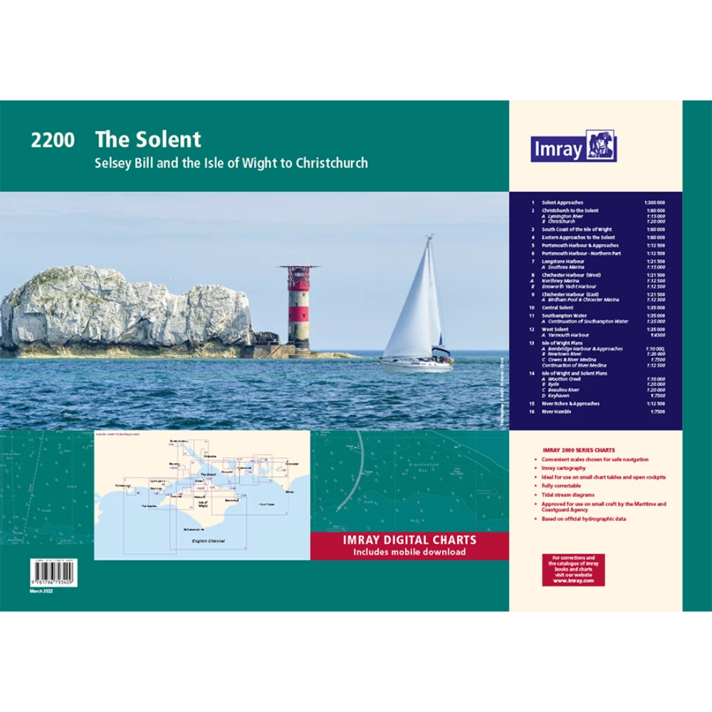
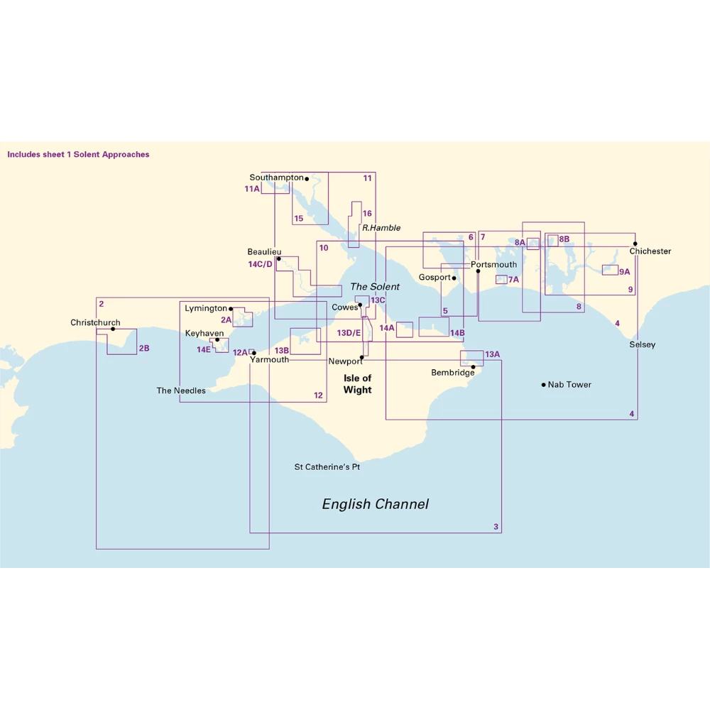
Catalogue Code: 2200
£54.95
Save £5.00
RRP £59.95
Available to buy online
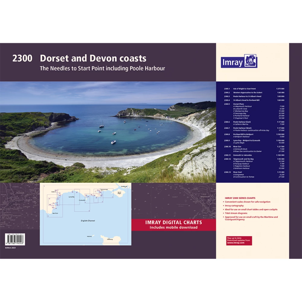
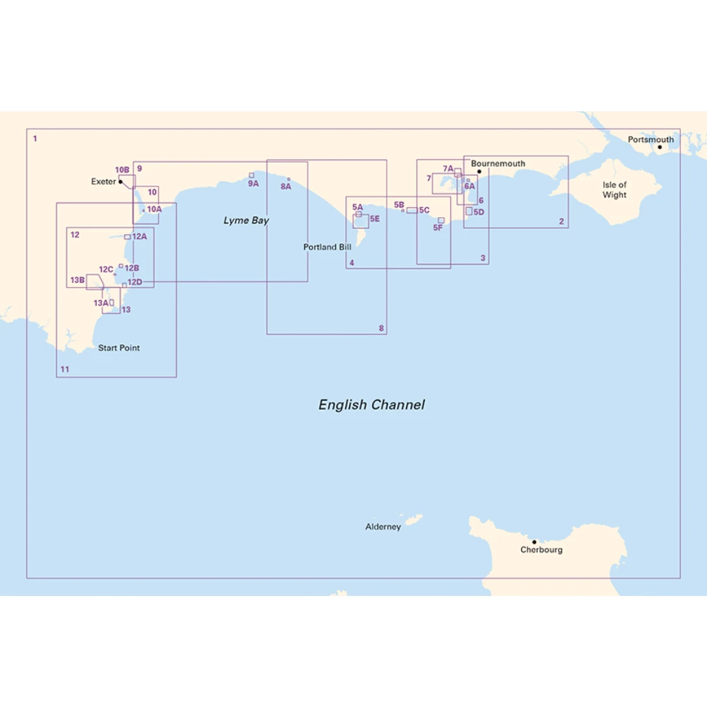
Catalogue Code: 2300
£54.95
Save £5.00
RRP £59.95
Available to buy online
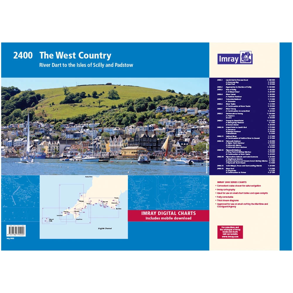
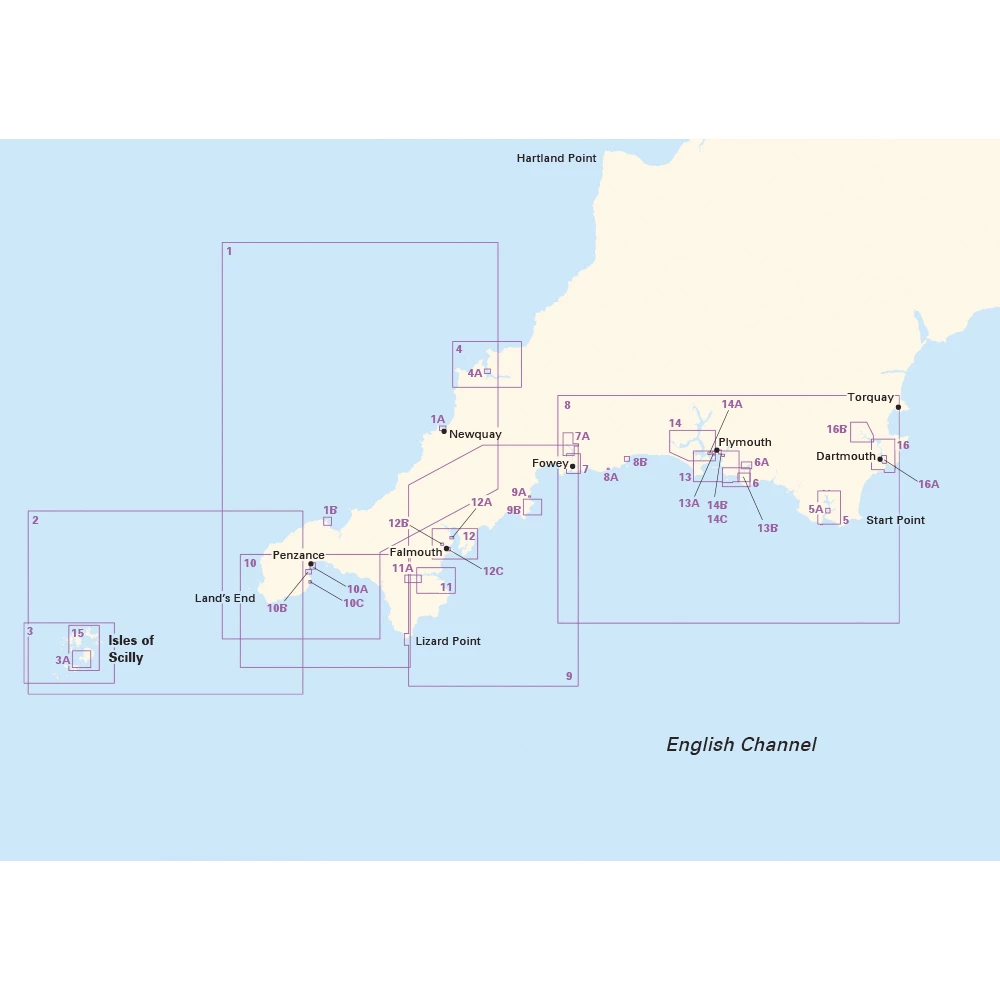
Catalogue Code: 2400
£54.95
Save £5.00
RRP £59.95
Available to buy online
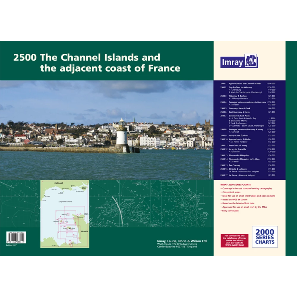

Catalogue Code: 2500
£54.95
Save £5.00
RRP £59.95
Available to buy online
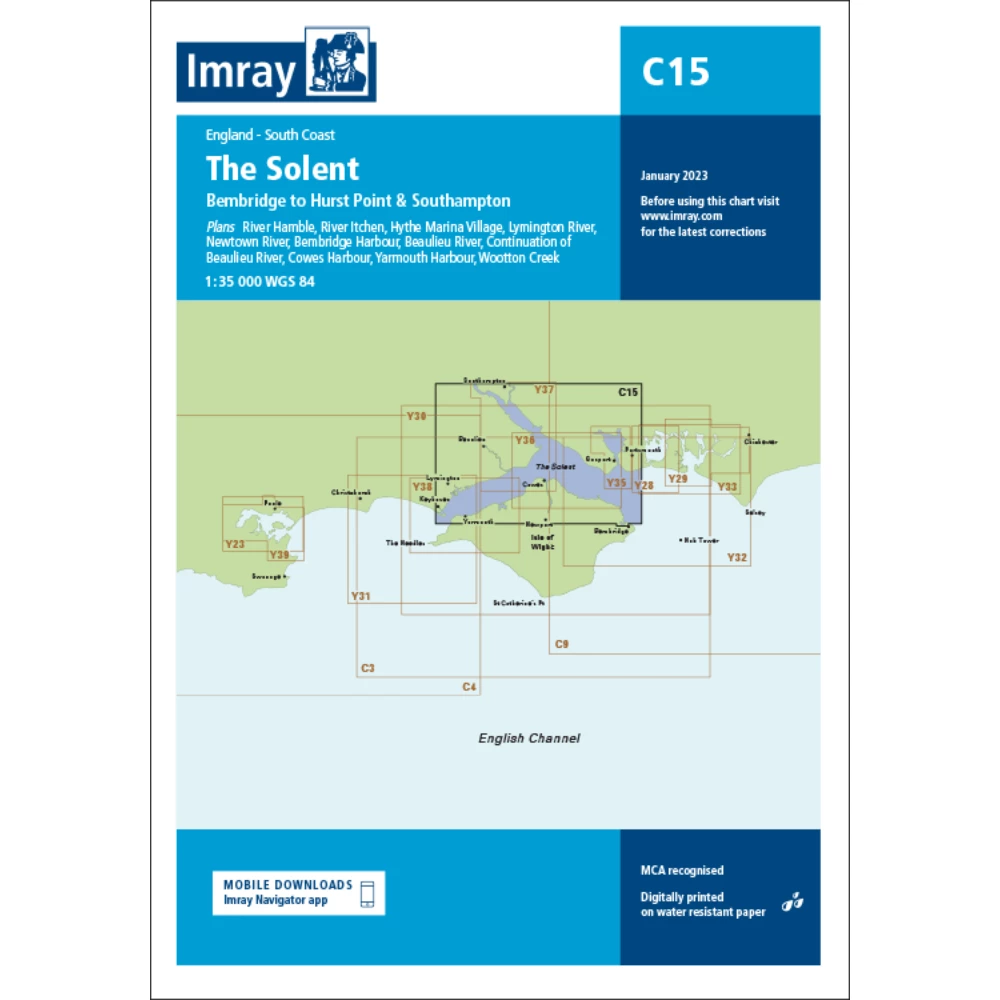
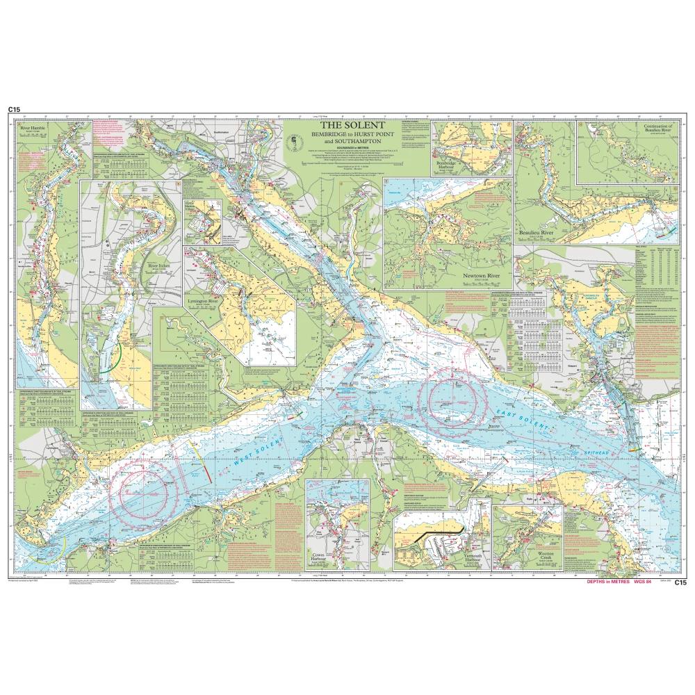
Catalogue Code: C15
£25.95
Save £3.00
RRP £28.95
Available to buy online
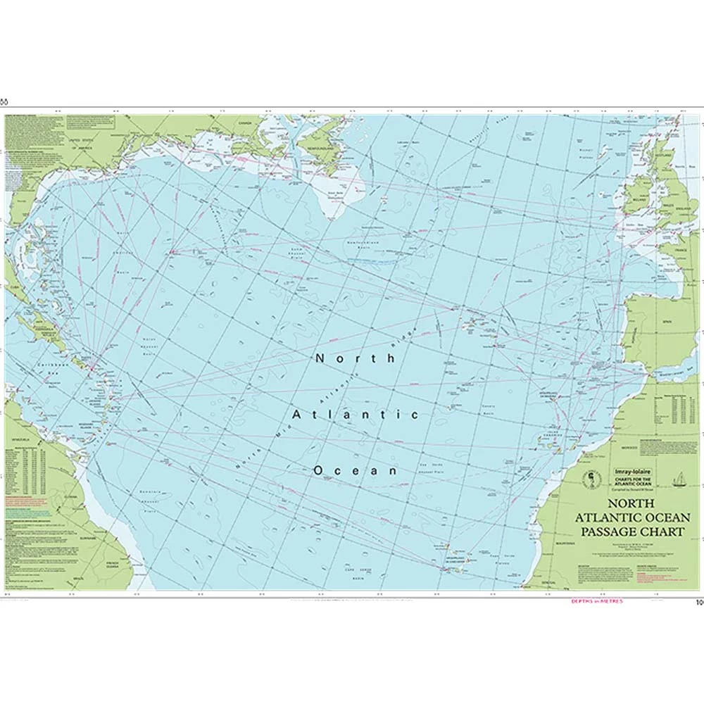
Catalogue Code: IM100
£21.95
Save £2.00
RRP £23.95
Available to buy online
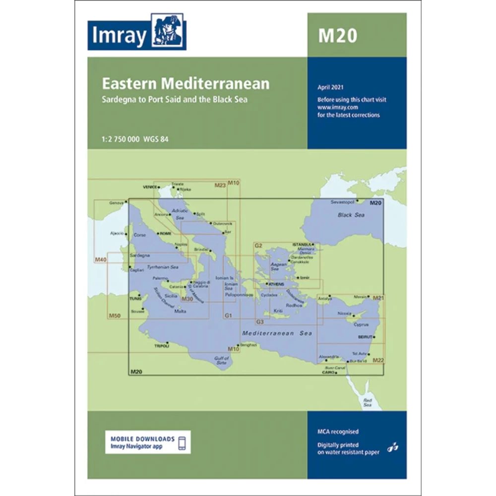
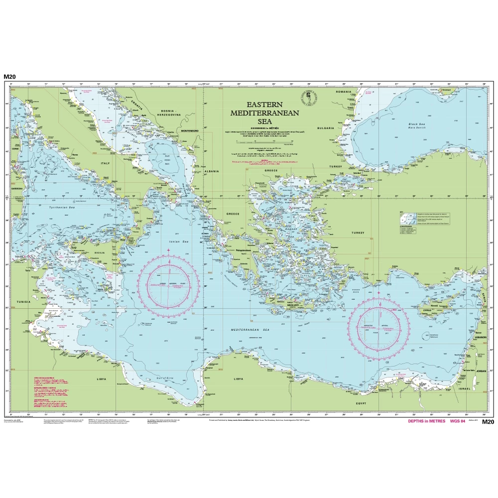
Catalogue Code: M20
£21.95
Save £2.00
RRP £23.95
Currently out of stock
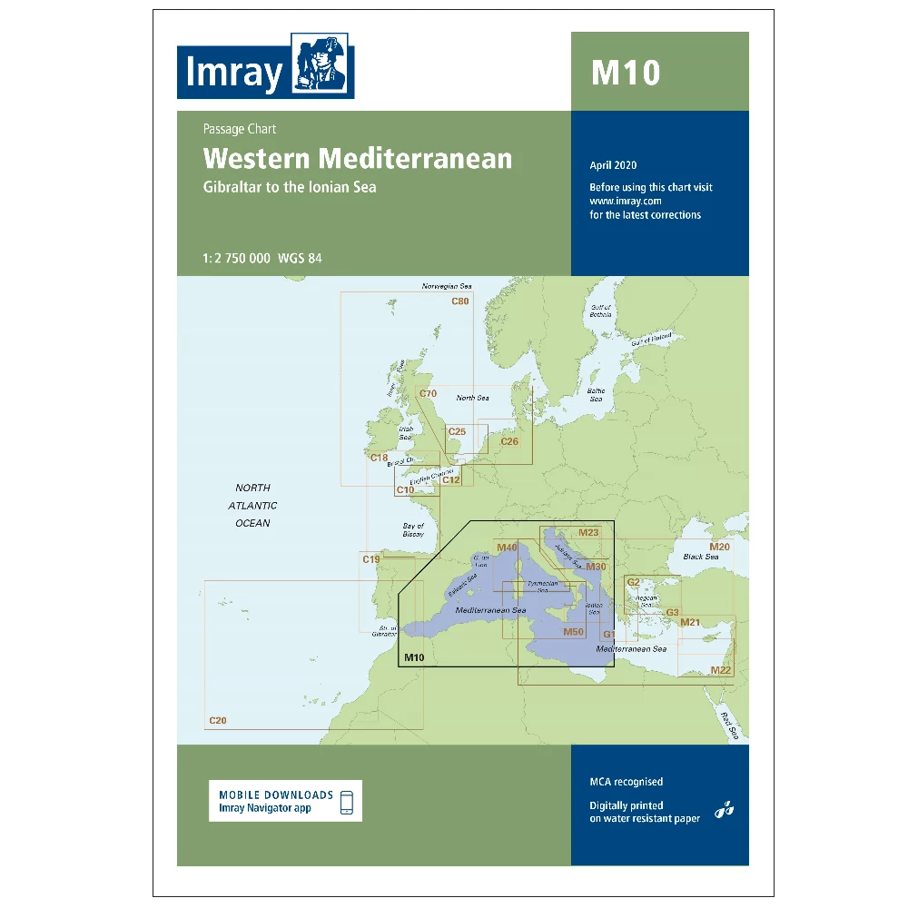
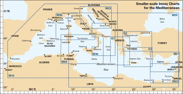
Catalogue Code: M10
£21.95
Save £2.00
RRP £23.95
Available to buy online
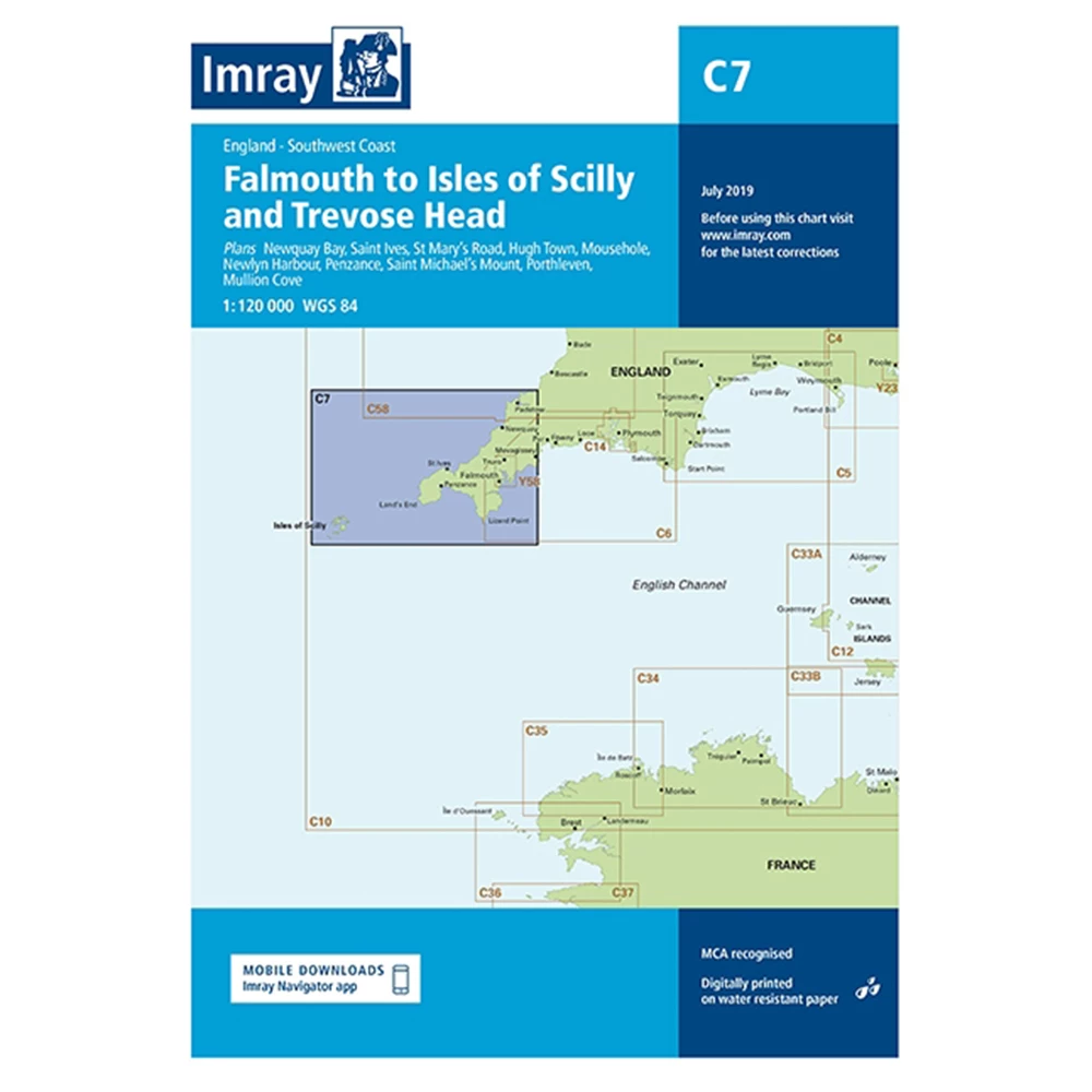
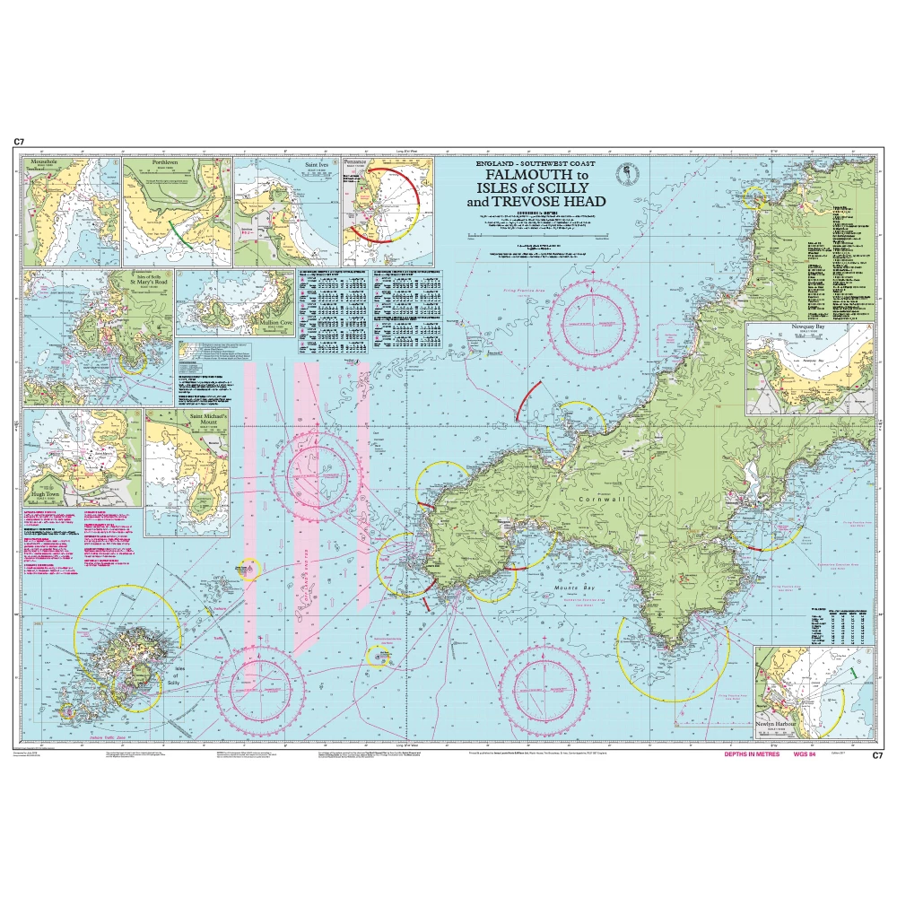
Catalogue Code: C7
£25.95
Save £3.00
RRP £28.95
Available to buy online
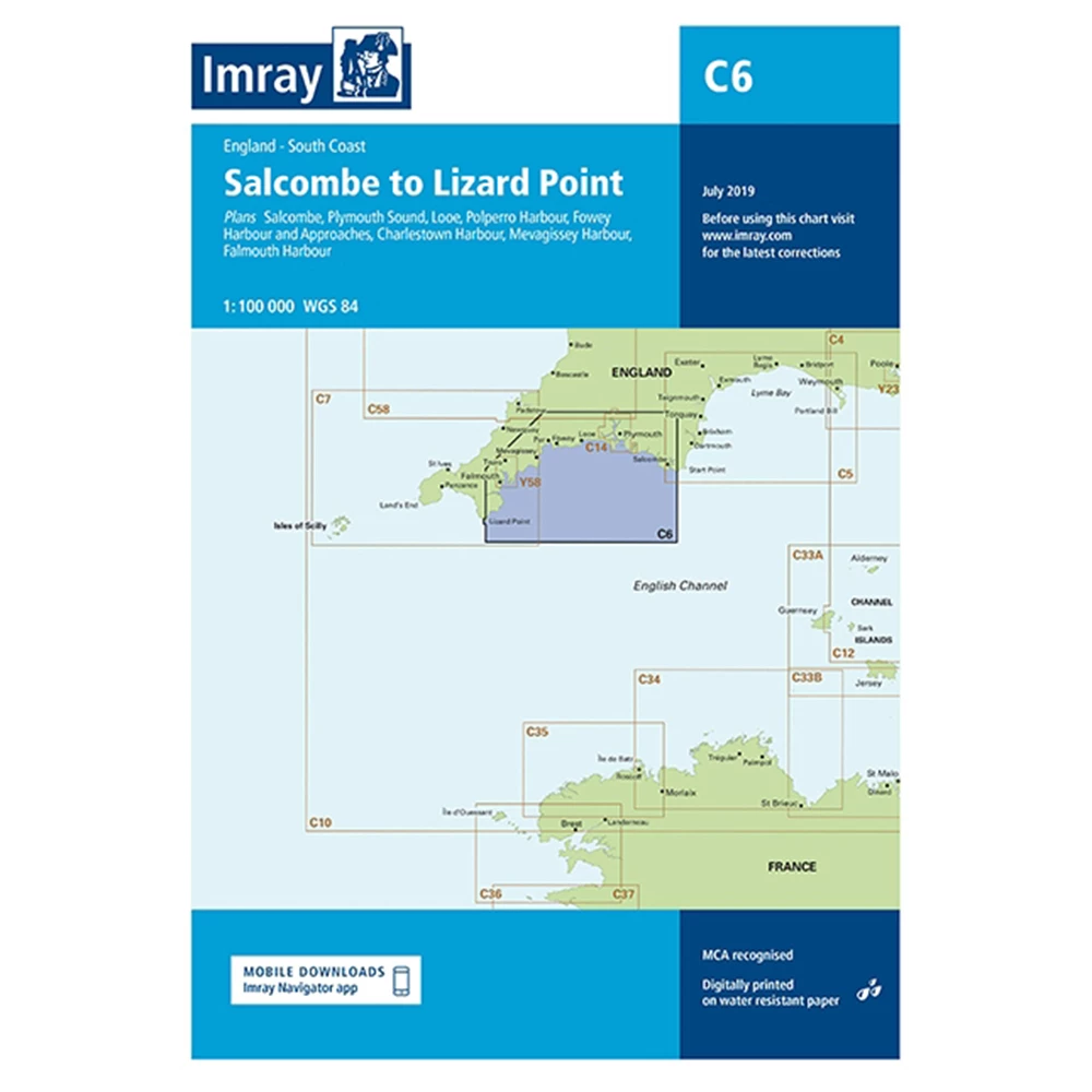
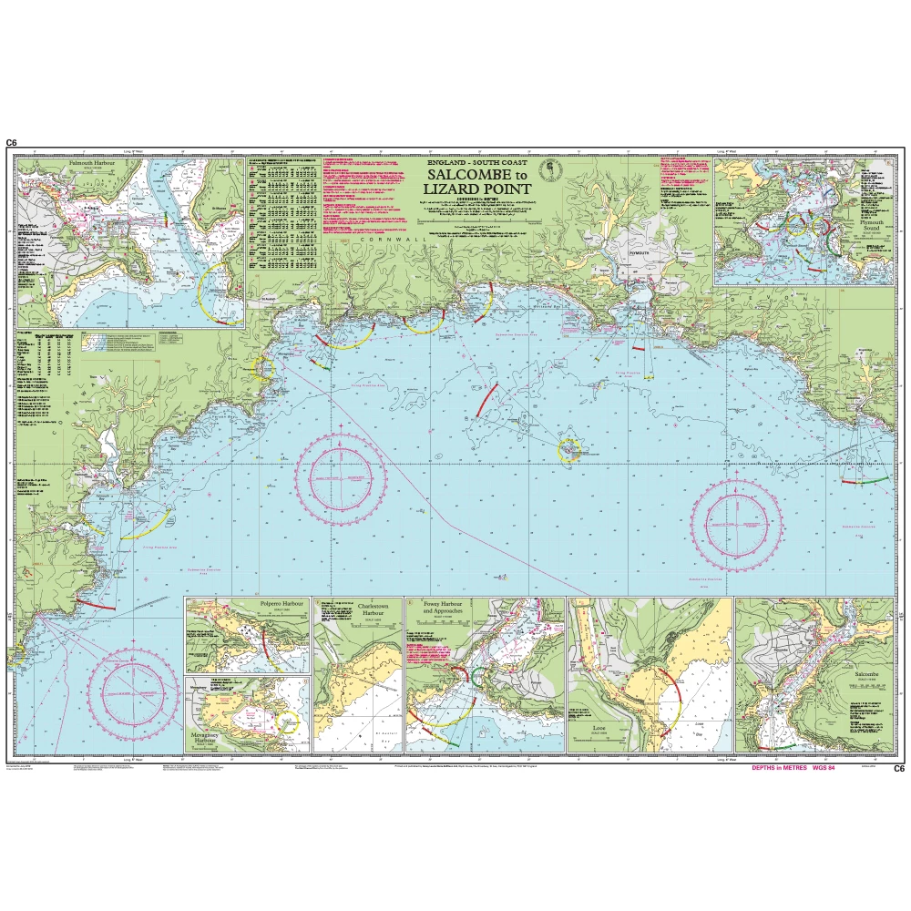
Catalogue Code: C6
£25.95
Save £3.00
RRP £28.95
Available to buy online
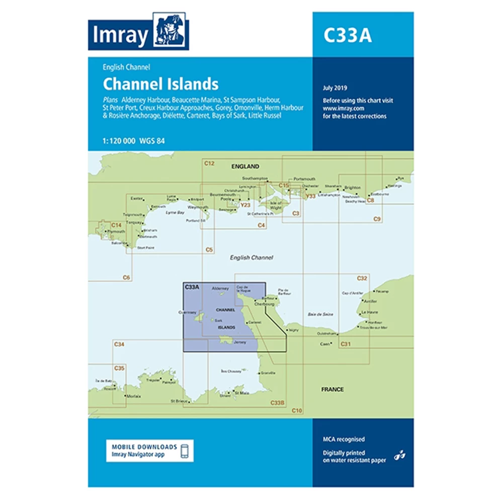
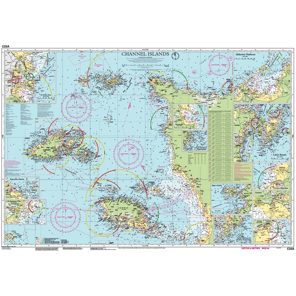
Catalogue Code: C33A
£25.95
Save £3.00
RRP £28.95
Available to buy online
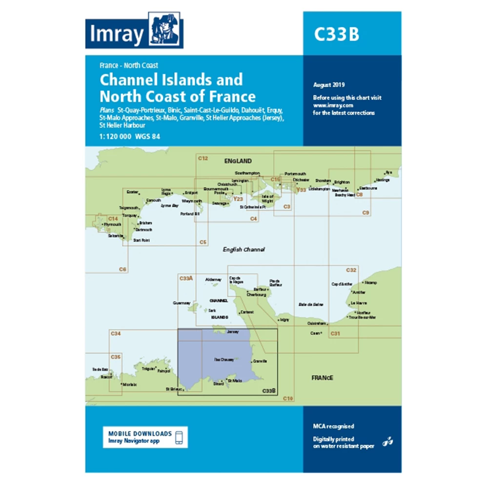
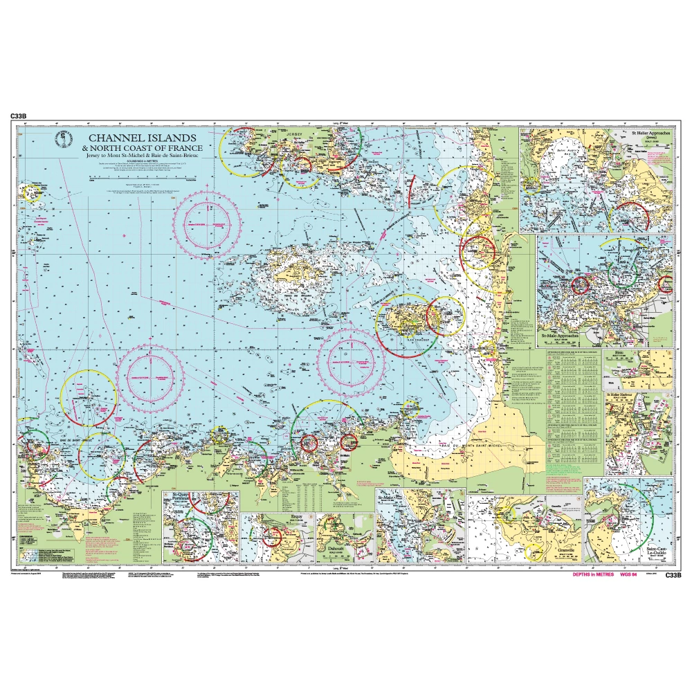
Catalogue Code: C33B
£25.95
Save £3.00
RRP £28.95
Available to buy online
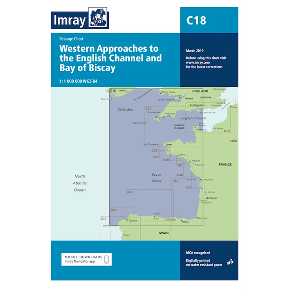
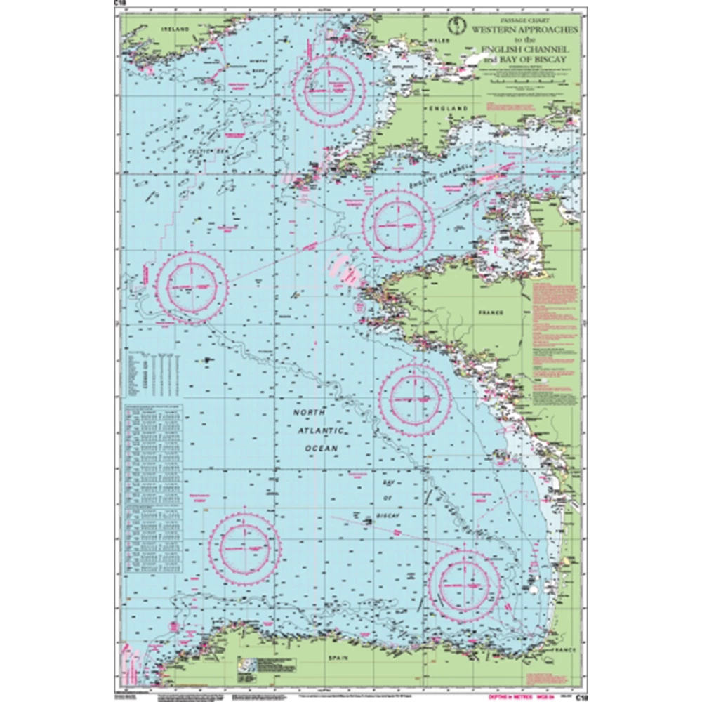
Catalogue Code: C18
£25.95
Save £3.00
RRP £28.95
Available to buy online
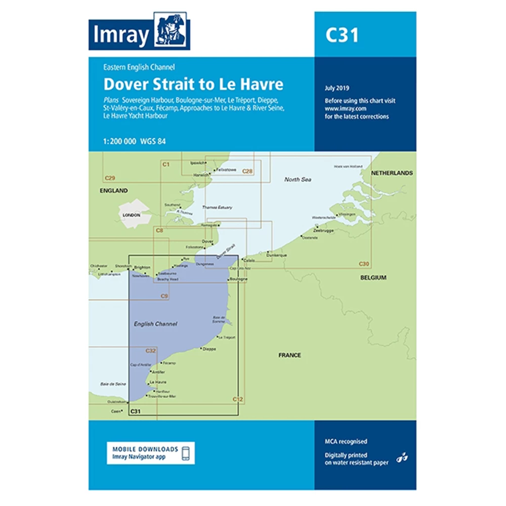
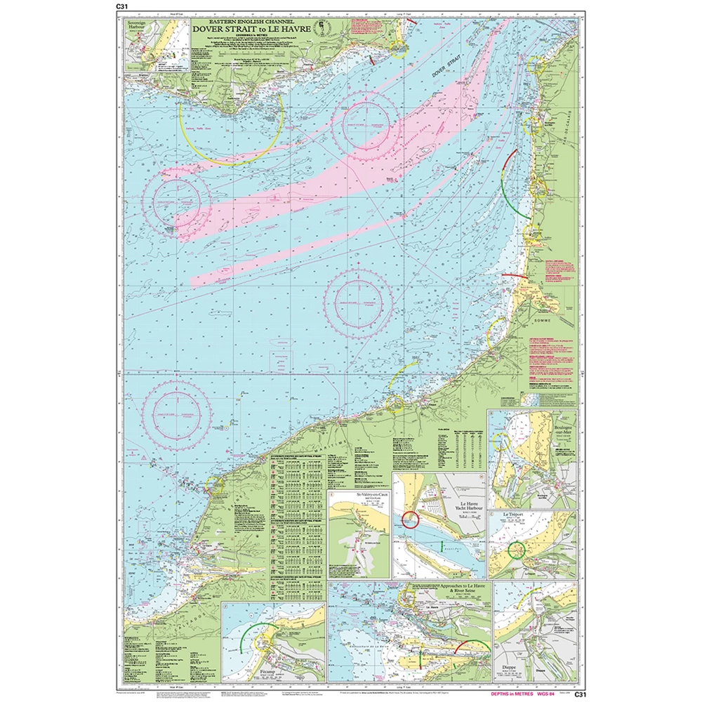
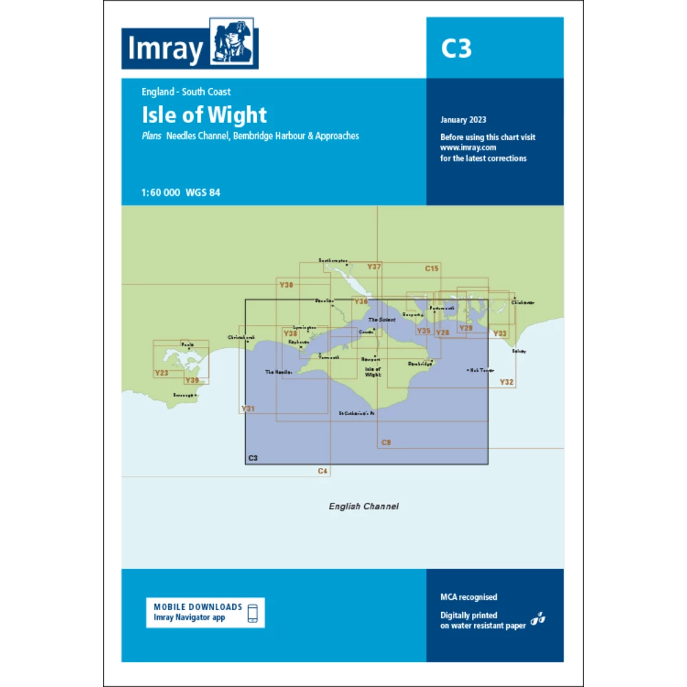
Catalogue Code: C31
£25.95
Save £3.00
RRP £28.95
Available to buy online
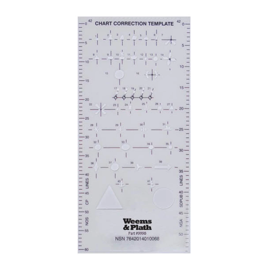
Catalogue Code: 340043
£4.75
Save £1.20
RRP £5.95
Available to buy online
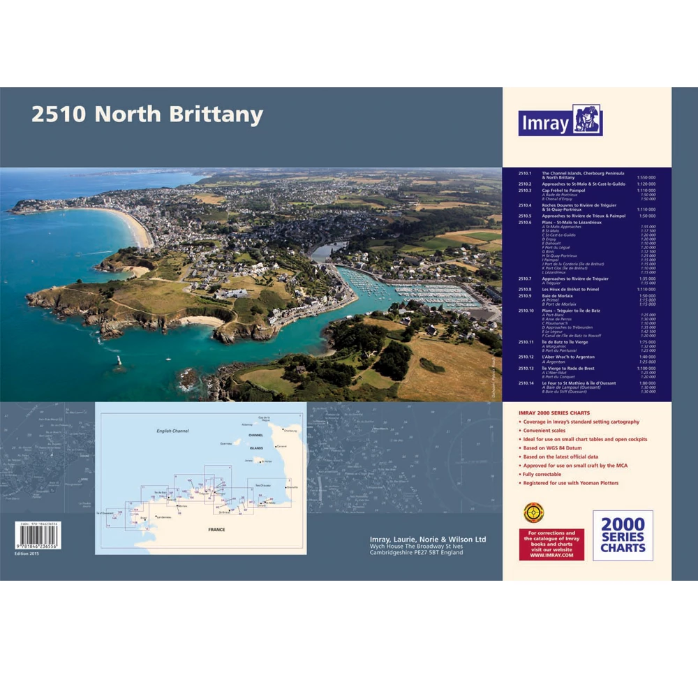
Catalogue Code: 2510
£54.95
Save £5.00
RRP £59.95
Available to buy online
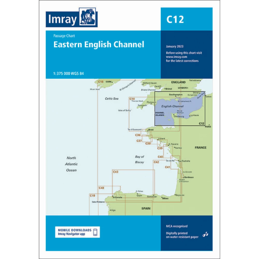
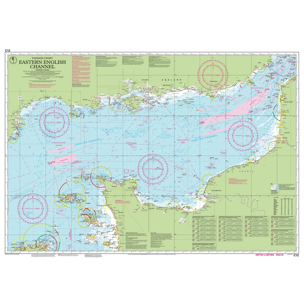
Catalogue Code: C12
£25.95
Save £3.00
RRP £28.95
Available to buy online
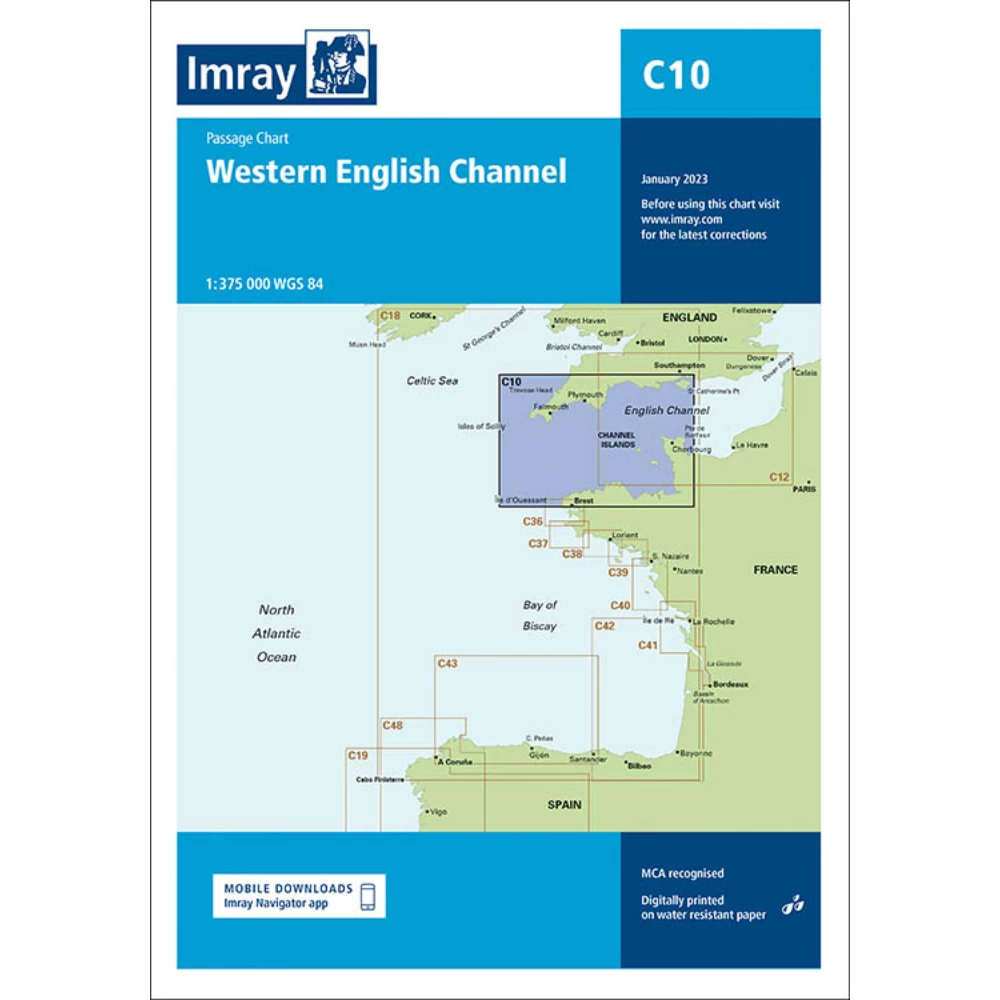
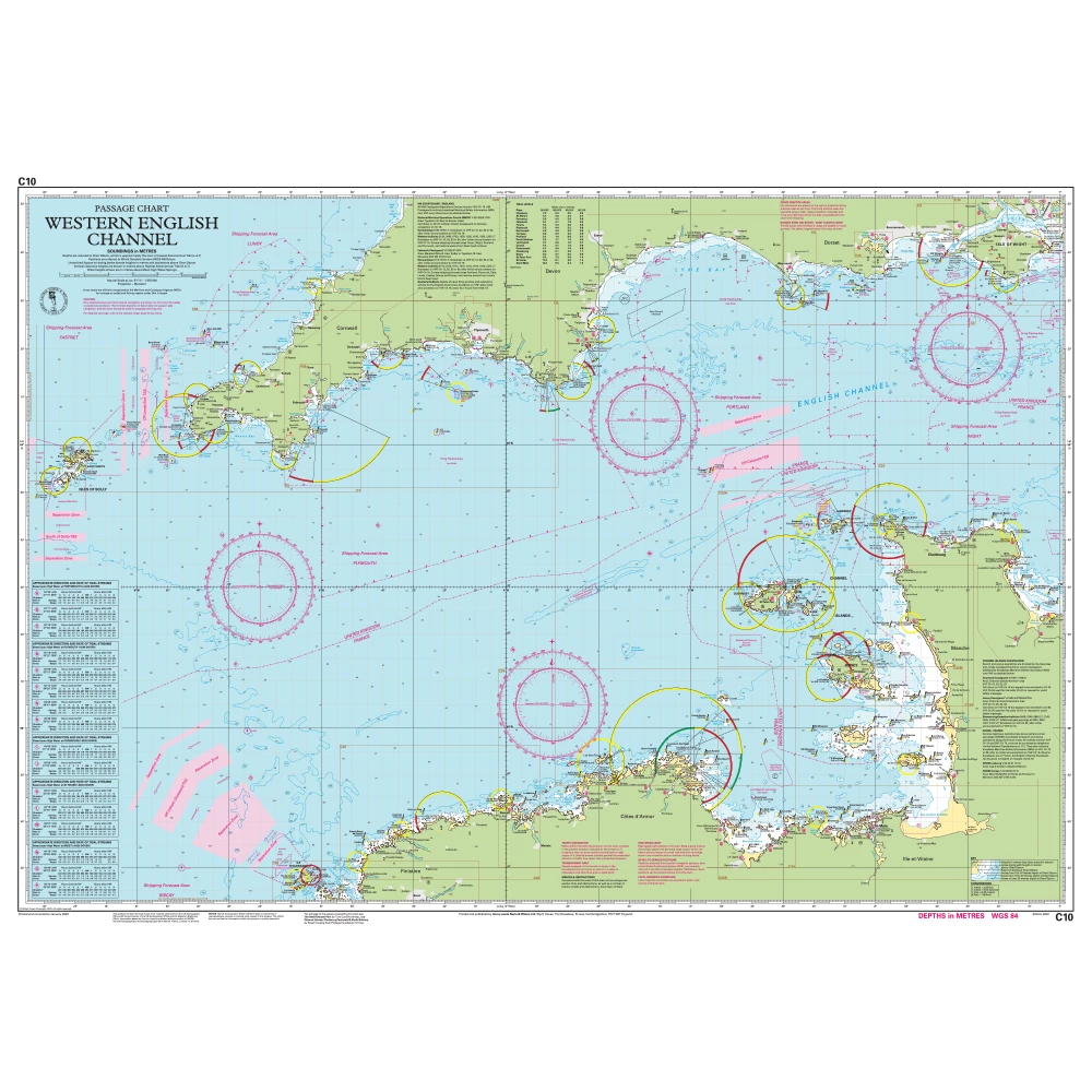
Catalogue Code: C10
£25.95
Save £3.00
RRP £28.95
Available to buy online