C-Map Electronic Charts

C-MAP MAX electronic charts have been a worldwide standard for years, providing cruisers, sailors and fishermen with the accurate, up-to-date chart data they need to enjoy each day on the water. Still a leading choice of navigators and chartplotter manufacturers around the globe.

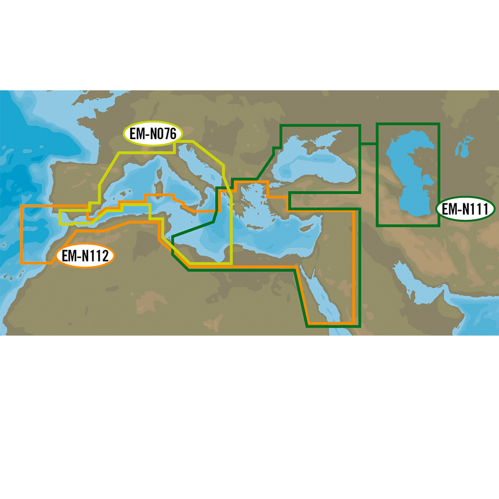
With extensive coverage of coastal waters, lakes and rivers and offering charts in Local, Wide and MegaWide coverage whatever your need or budget might be.


C-Map Electronic Charts
Relevance
Showing Items 193 - 61 of 61
Prev 1 2 3
Page 3
Shop By:
  • Category
  • Price range
    £
    £
    Clear Price
  • Size
MAX Wide - North Sea and Denmark
Catalogue Code: EN-M300
£255.00
Available to buy online
MAX Wide - River Danube - Krems to Black Sea
Catalogue Code: EN-M082
£255.00
Available to buy online
MAX Wide - Belgium Inland and river Rhein
Catalogue Code: EN-M076
£255.00
Available to buy online
Mega-Wide MW6 - European Inland Waters (Max Only)
Available to buy online
MAX-N Wide - South Med & Aegean Sea
Catalogue Code: EM-N112
£229.95
Available to buy online
MAX-N Wide - East Med Black & Caspian Seas
Catalogue Code: EM-N111
£229.95
Available to buy online
MAX-N Wide - South West European Coasts
Catalogue Code: EM-N076
£229.95
Available to buy online
Mega-Wide MW1 - Mediterranean & Black Sea (Max Only)
Available to buy online
MAX Wide - East Med Black Caspian Sea
Catalogue Code: EM-M111
£255.00
Available to buy online
MAX Wide - South-West European C
Catalogue Code: EM-M076
£255.00
Available to buy online
4D MAX Wide - South Med & Aegean Sea
Catalogue Code: EM-D112
£204.00
Available to buy online
4D MAX Wide - East Med, Black & Caspian Seas
Catalogue Code: EM-D111
£204.00
Available to buy online
4D MAX Wide - South West European Coasts
Catalogue Code: EM-D076
£204.00
Available to buy online
Relevance
Showing Items 193 - 61 of 61
Prev 1 2 3
Page 3
Back to top
force4