Imray Nautical Charts
Imray provides nautical charts covering large areas of the world's oceans - From the British Isles and waters of Northwest Europe, to the islands of the Caribbean Sea.
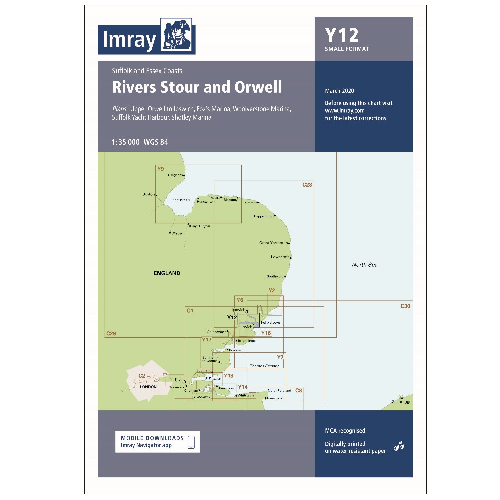
Take a look at the comprehensive range of paper charts and folio packs from Imray - With official data provided from international Hydrographic Offices. Providing the most relevant information for leisure and small craft users.
Paper charts are printed on water-resistant paper designed for sailors and packaged in a sturdy recycled PVC wallet.


Available to buy online


Available to buy online


Catalogue Code: Y32
£16.95
Save £3.00
RRP £19.95
Available to buy online


Available to buy online


Available to buy online

Available to buy online

Available to buy online


Available to buy online